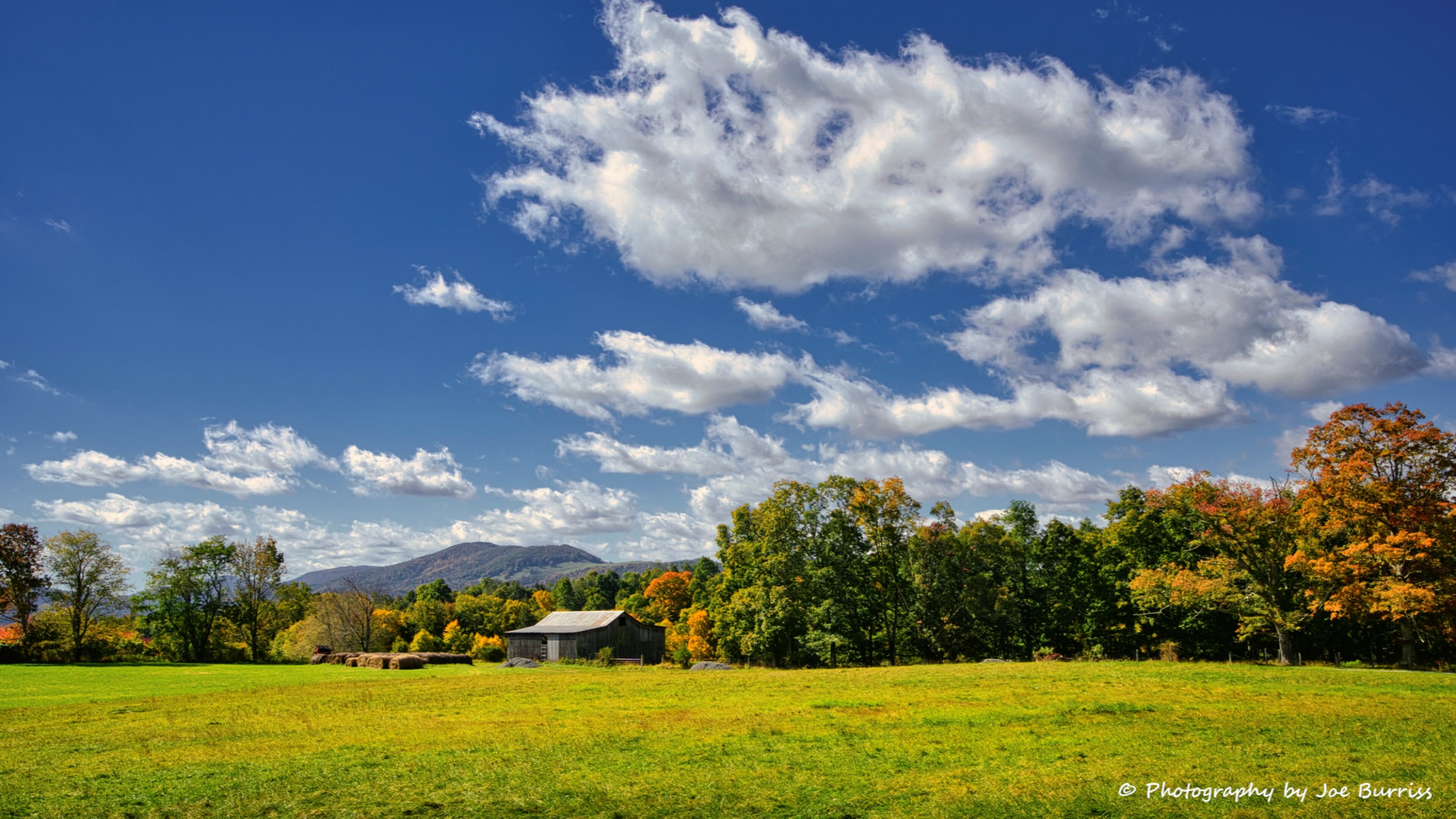
We both grew up in WV, but like most folks we have met, most of our vacations were out of state. So this is our first trip to the north-eastern part of the state. It was a great 10 days that coincided with the fall leaf peeping season.
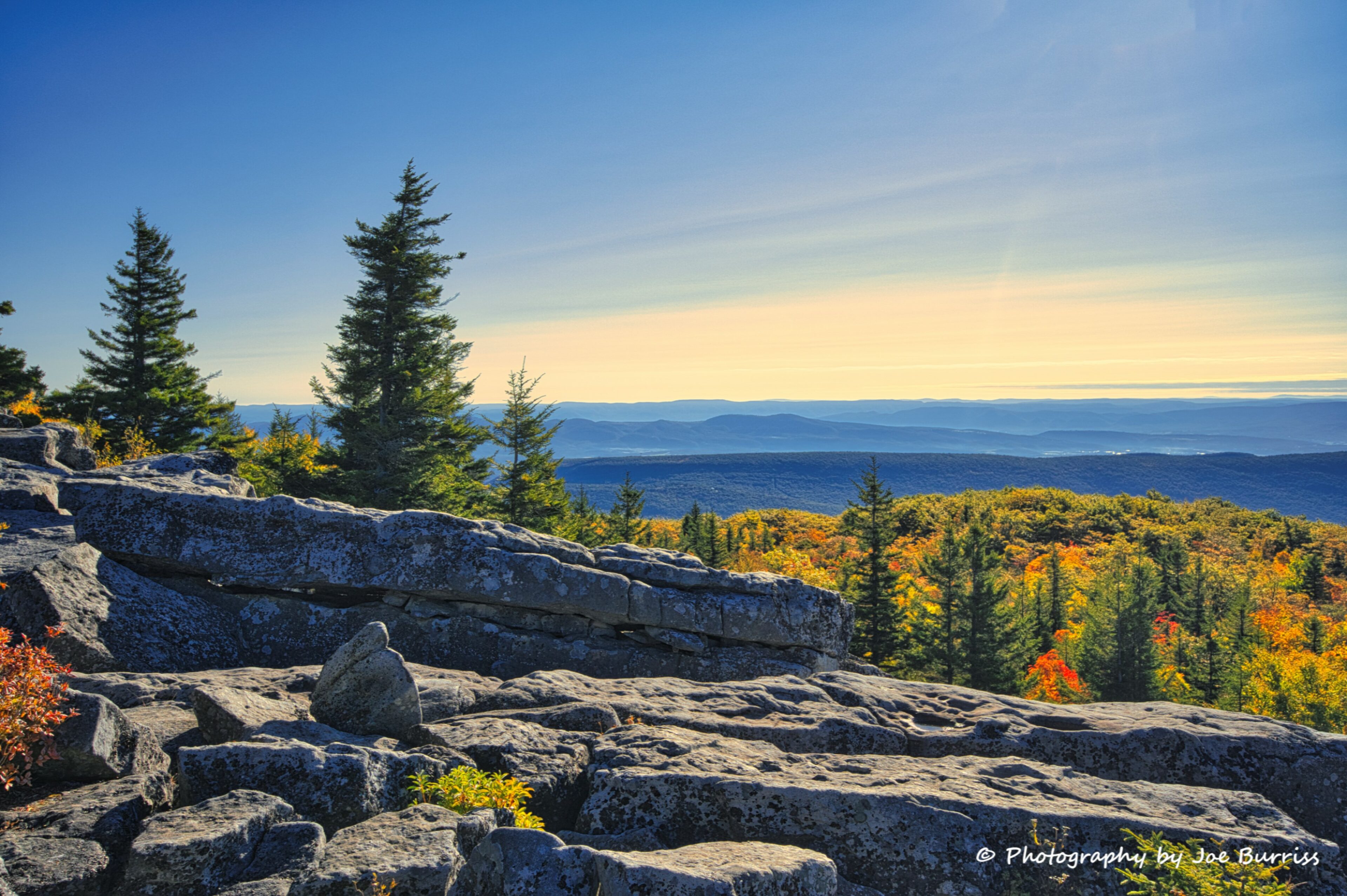
Dolly Sods is a rocky, high-altitude plateau with sweeping vistas and plants normally found much farther north in Canada. The distinctive landscape of Dolly Sods is characterized by ‘flagged’ trees with the branches only on the downwind side, wind-carved boulders, low-growing shrubby habitat, grassy meadows created in the last century by logging and fires, and ancient sphagnum bogs.
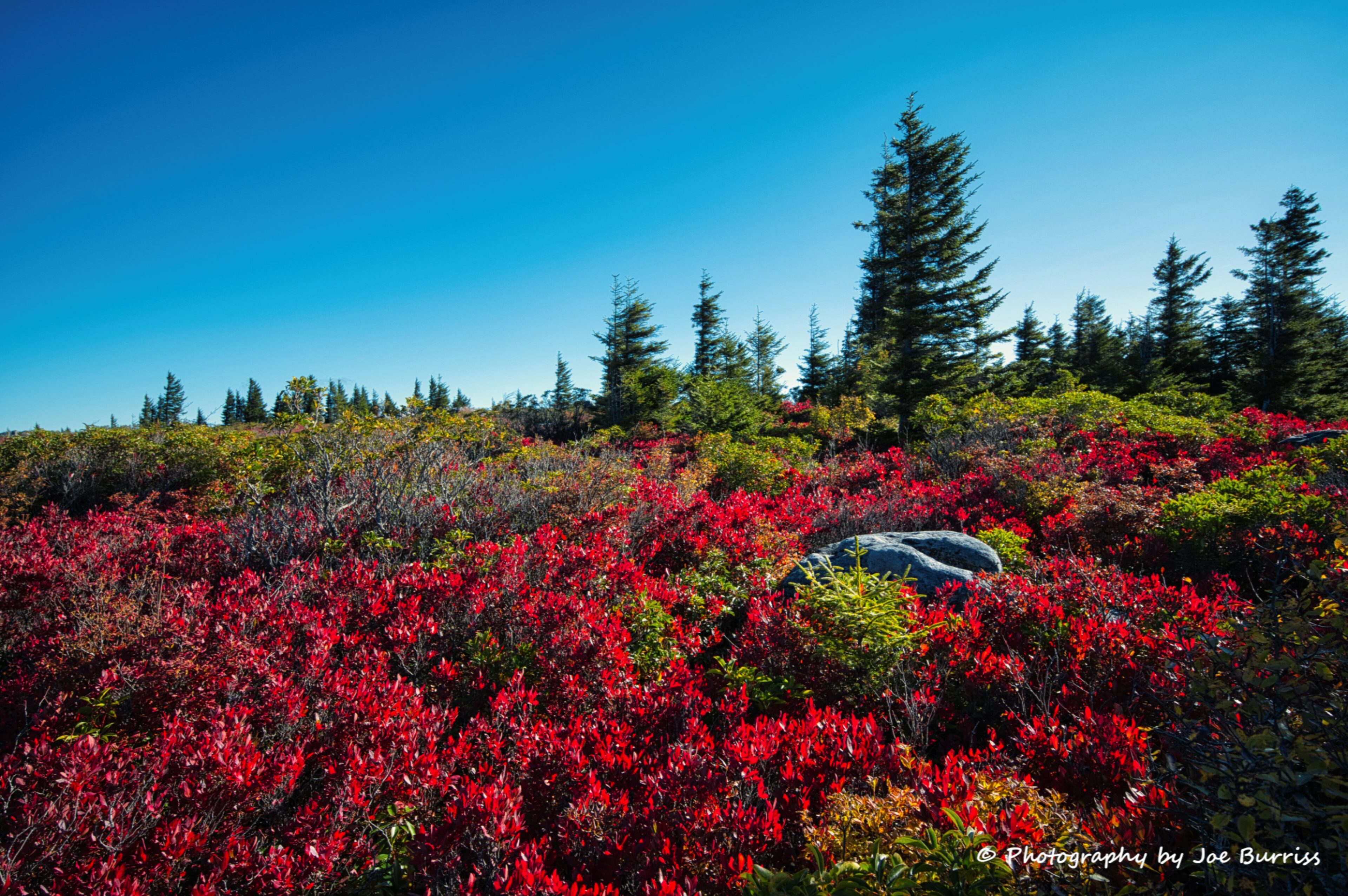
Dolly Sods is now (the protected area has grown some over the decades) about 32,000 acres of wilderness with lots of hiking trails, campsites, picnic areas, and scenic views. It is accessed via several miles of narrow gravel roads and includes limited parking that can make it look really crowded. Joe was there on a day when parking was at a premium, but once people entered the wilderness it was easy to feel like you had the whole place to yourself.

Joe explored the Bear Rocks area, possibly the most well known region of Dolly Sods. It is owned and managed by the Nature Conservancy. It is less than 500 acres, but wow what a beautiful 500 acres. It is crisscrossed with numerous trails, so it can accommodate many visitors. It also has amazing views from the rocks along the Allegheny Front.
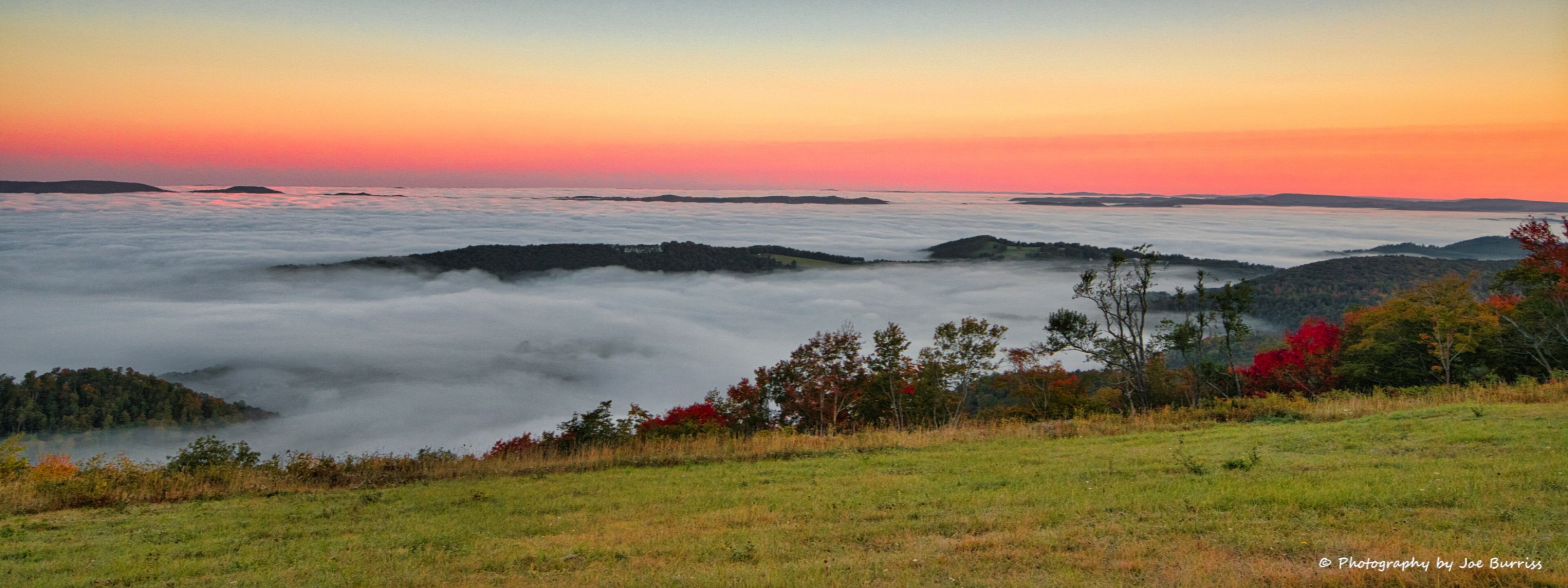
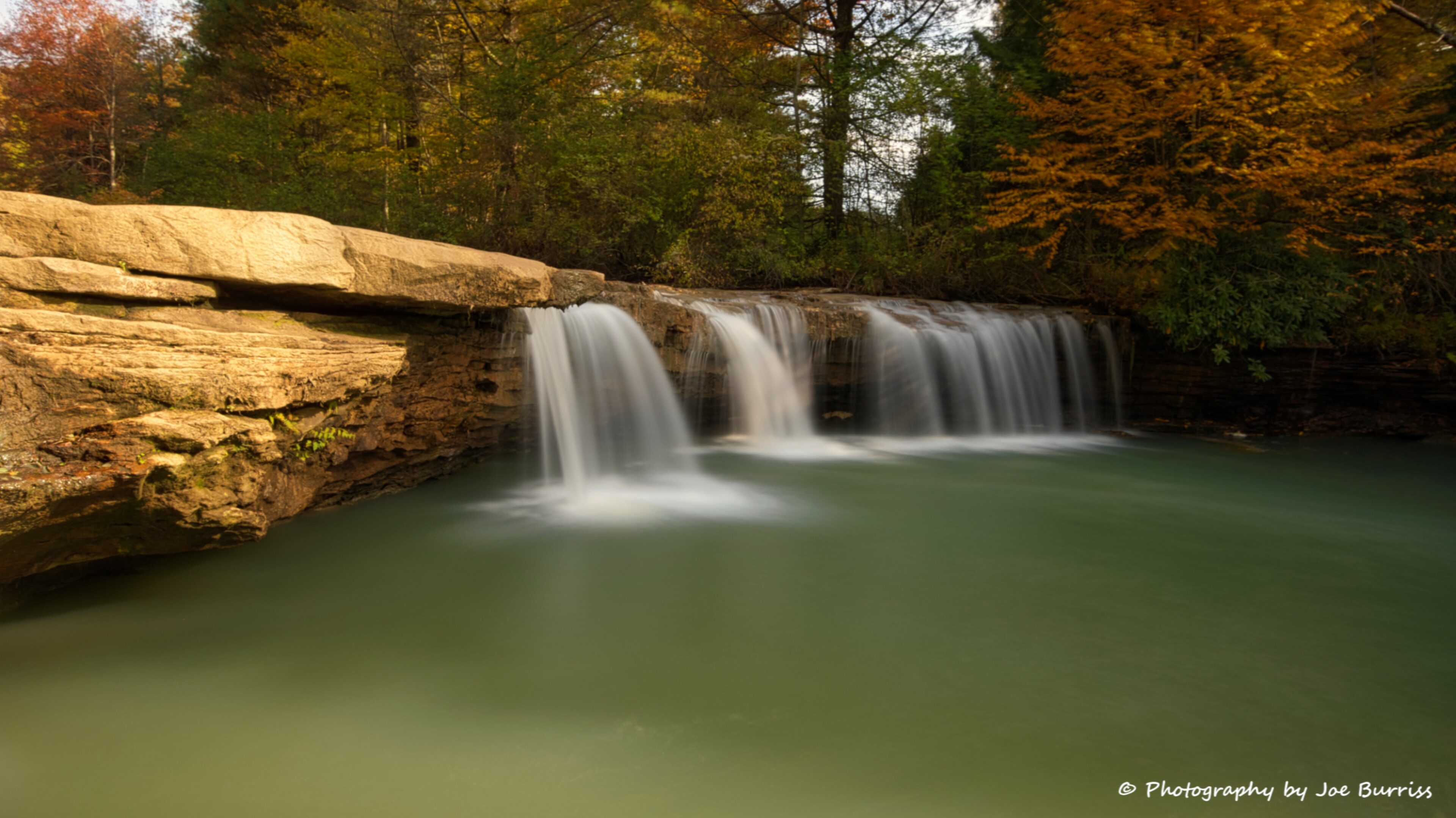
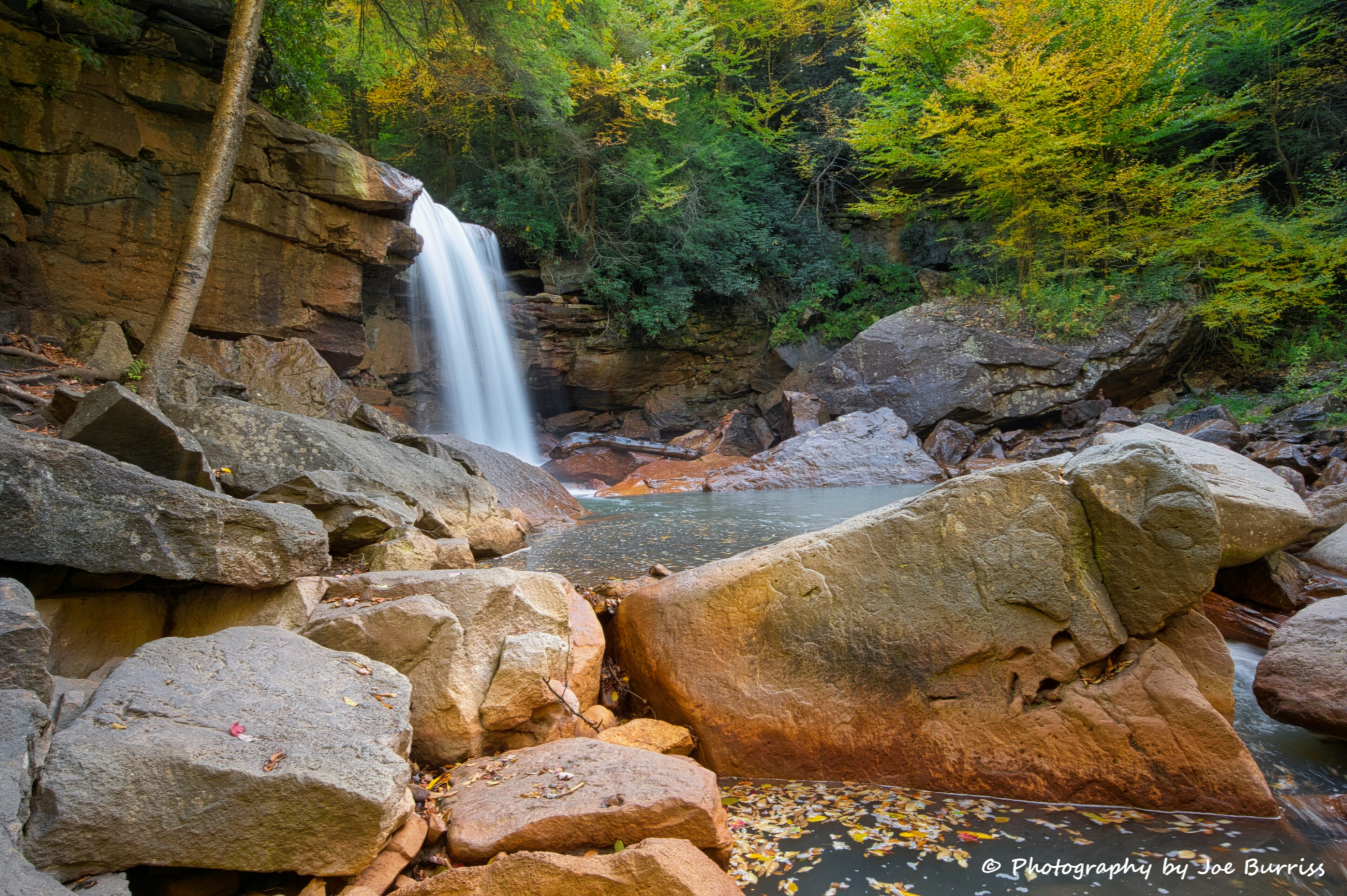
This area has lots of creeks and rivers that not only are full of fish, but also have beautiful waterfalls. The North Fork of the Blackwater River is easily accessed from the town of Thomas and includes Douglas Falls and several great small falls. Douglas Falls, at 35 feet tall, is the largest of the falls we found.

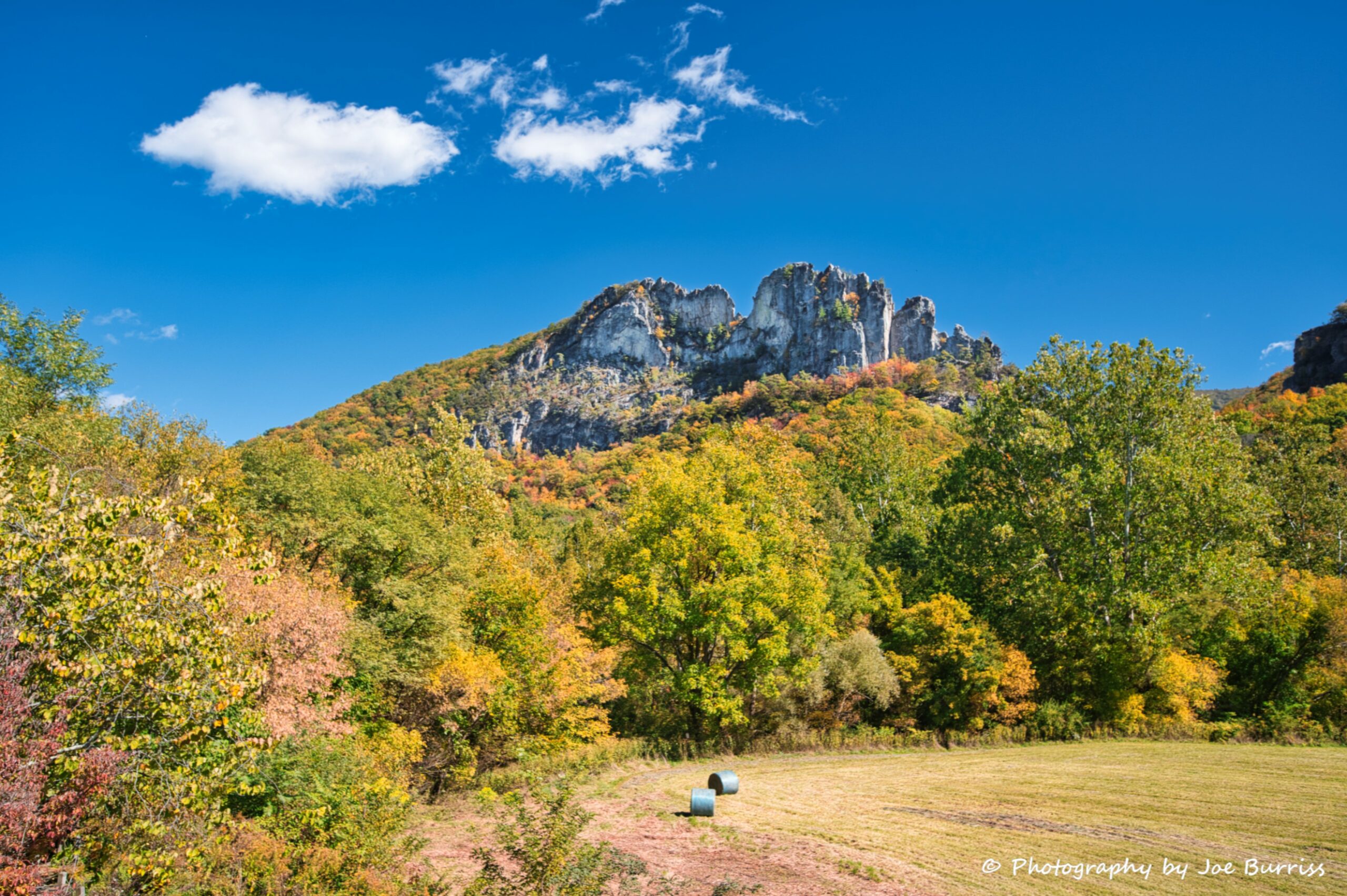
Seneca Rocks is a large crag in the Spruce Knob – Seneca Rocks National Recreation Area in northeastern WV. One of the best-known scenic attractions in West Virginia, the sheer rock faces are a popular challenge for rock climbers. Many days if you look closely you can see the climbers as tiny moving dots on the cliff face. There is a hike to an observation deck near the base of the cliffs. We chose not to hike it and went to Spruce Knob instead.

Spruce Knob is WV’s highest point at 4863 ft. It is a 12-mile drive along a better than average wilderness paved road all the way to the top. Along the way and at the top are backpacking and hiking options. We chose a 1/2 mile loop that included the observation tower. The views from the peak seem to stretch forever.

West Virginia, the Mountain State, is aptly nicknamed. (It’s actually a dissected plateau, but who are we to judge?) It is a great place to explore the eastern mountains without the crowds of Shenandoah and Smoky Mountains National Parks. We will continue to explore our home state each time we are in the area.