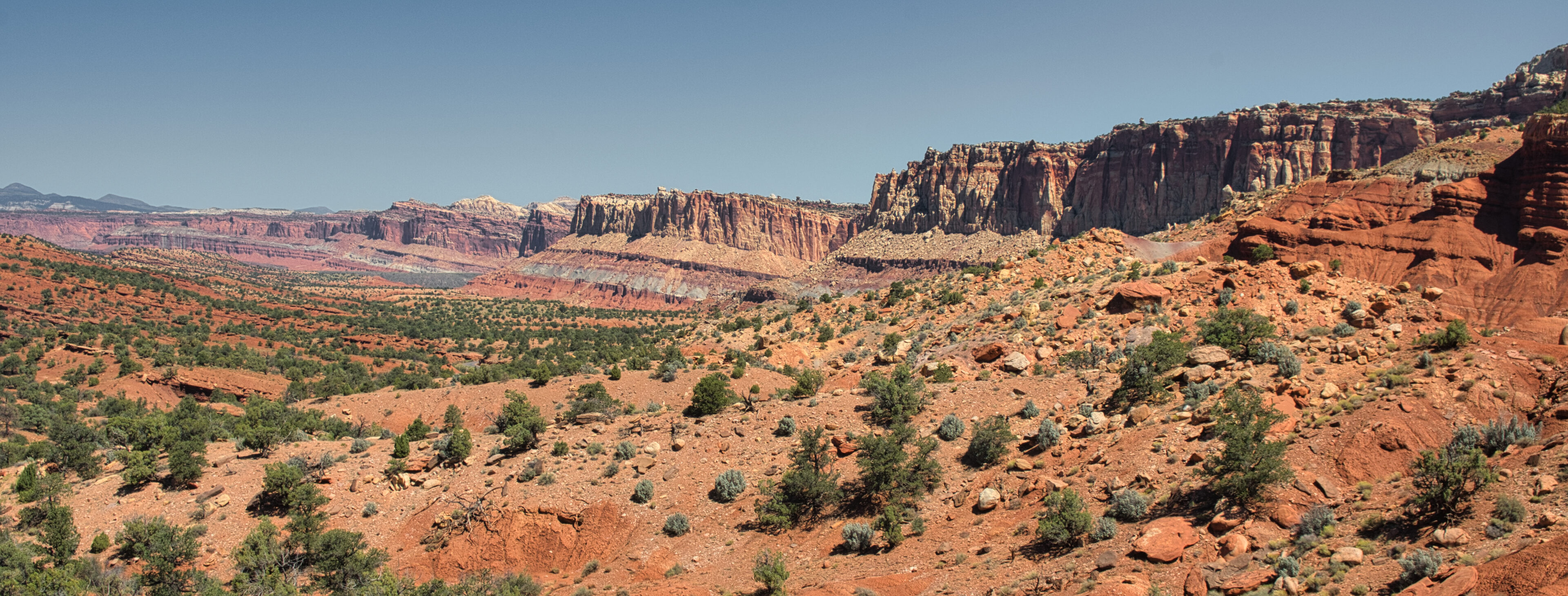
Capitol Reef National Park is easy to overlook when visiting southern Utah. It is competing with Zion, Bryce Canyon, Arches, and Canyonlands for your attention. That is some tough competition. We were able to stop for a few days and left wanting to spend more time in this amazing place. It is located in south-central Utah in the heart of red rock country. It protects and highlights the Waterpocket Fold, a 100 mile long S-shaped fold in the earth’s crust that is 65 million years old. In addition to the Waterpocket Fold it is filled with cliffs, canyons, domes, and orchards. Orchards?
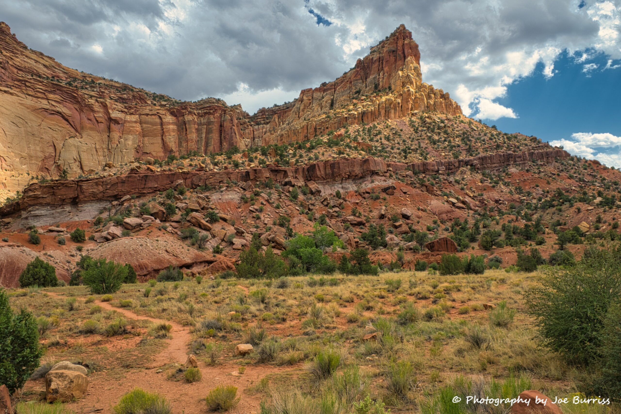
The Capitol Reef area wasn’t mapped by United States explorers until 1872, although people have lived in this region for thousands of years. Around 1880 the Latter Day Saints moved into the high plateau lands west of Capitol Reef and established communities based on short-season farming and grazing. The key to life in this area was the Fremont River and its year-round supply of water. It provided irrigation needed by the farmers for their crops. By around 1900 the area had been named Fruita due to the abundant orchards. Those orchards still exist today, maintained by the Park. If you visit the Park make sure you buy an individual fruit pie from the Gifford Homestead located on Scenic Drive. They are delicious.
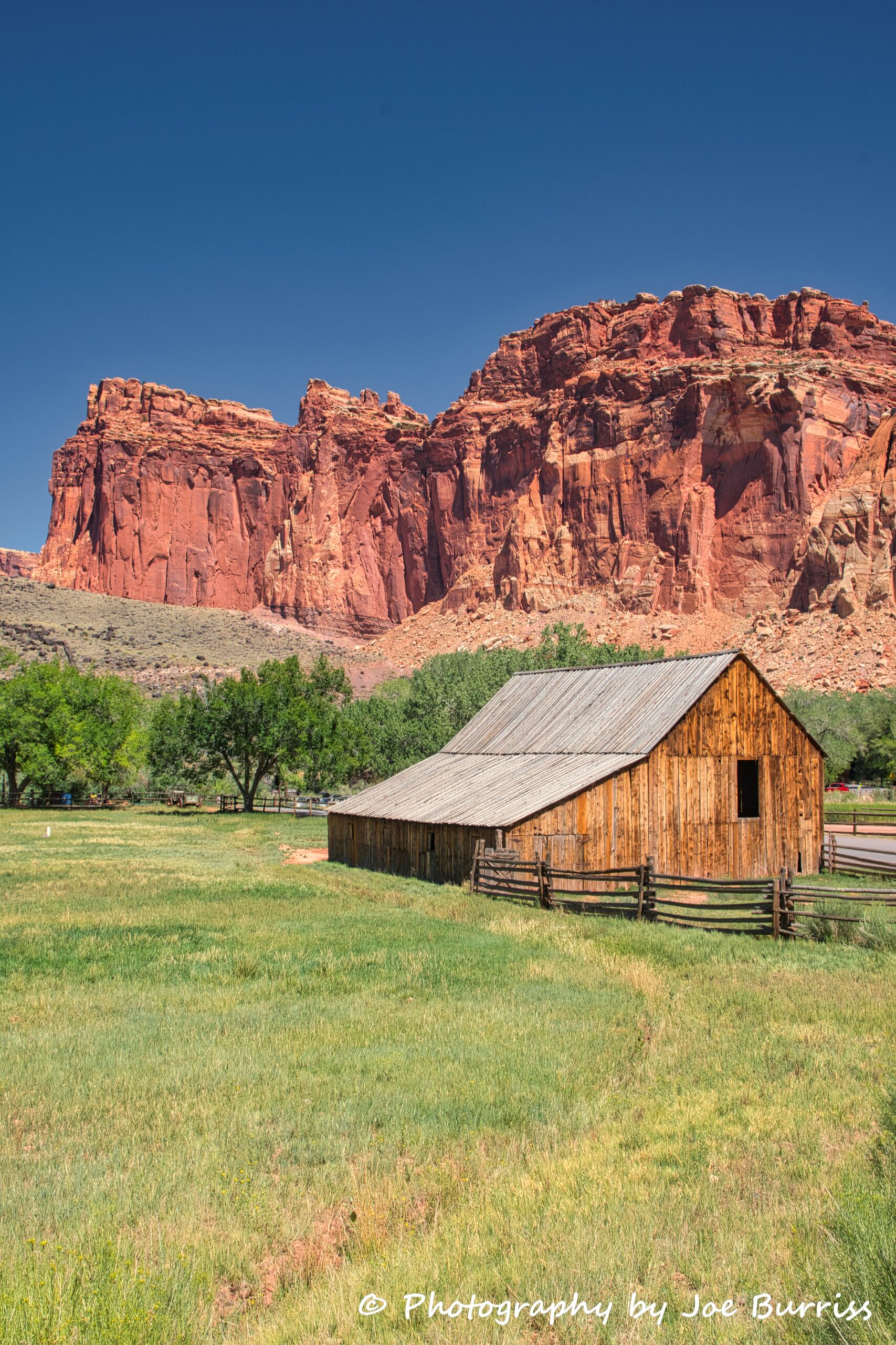
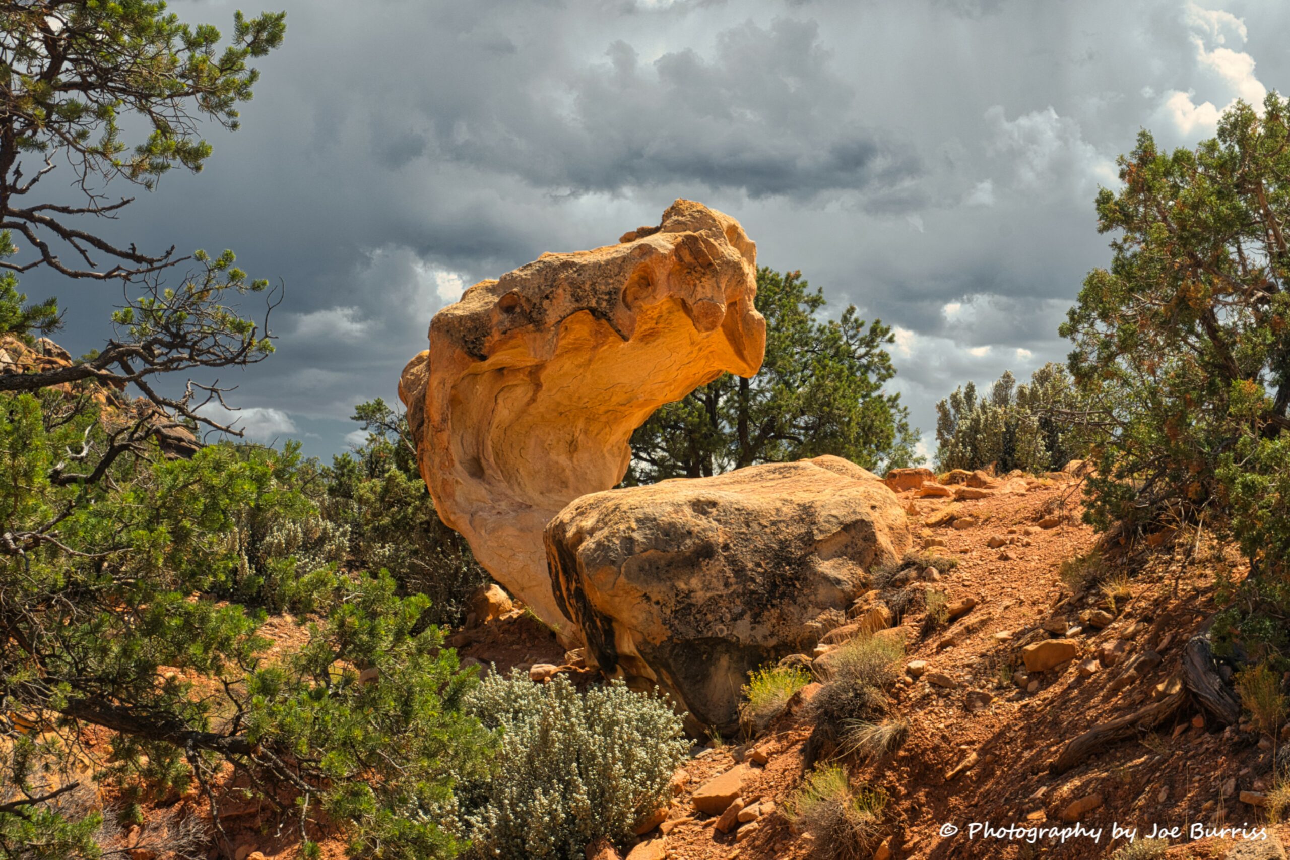
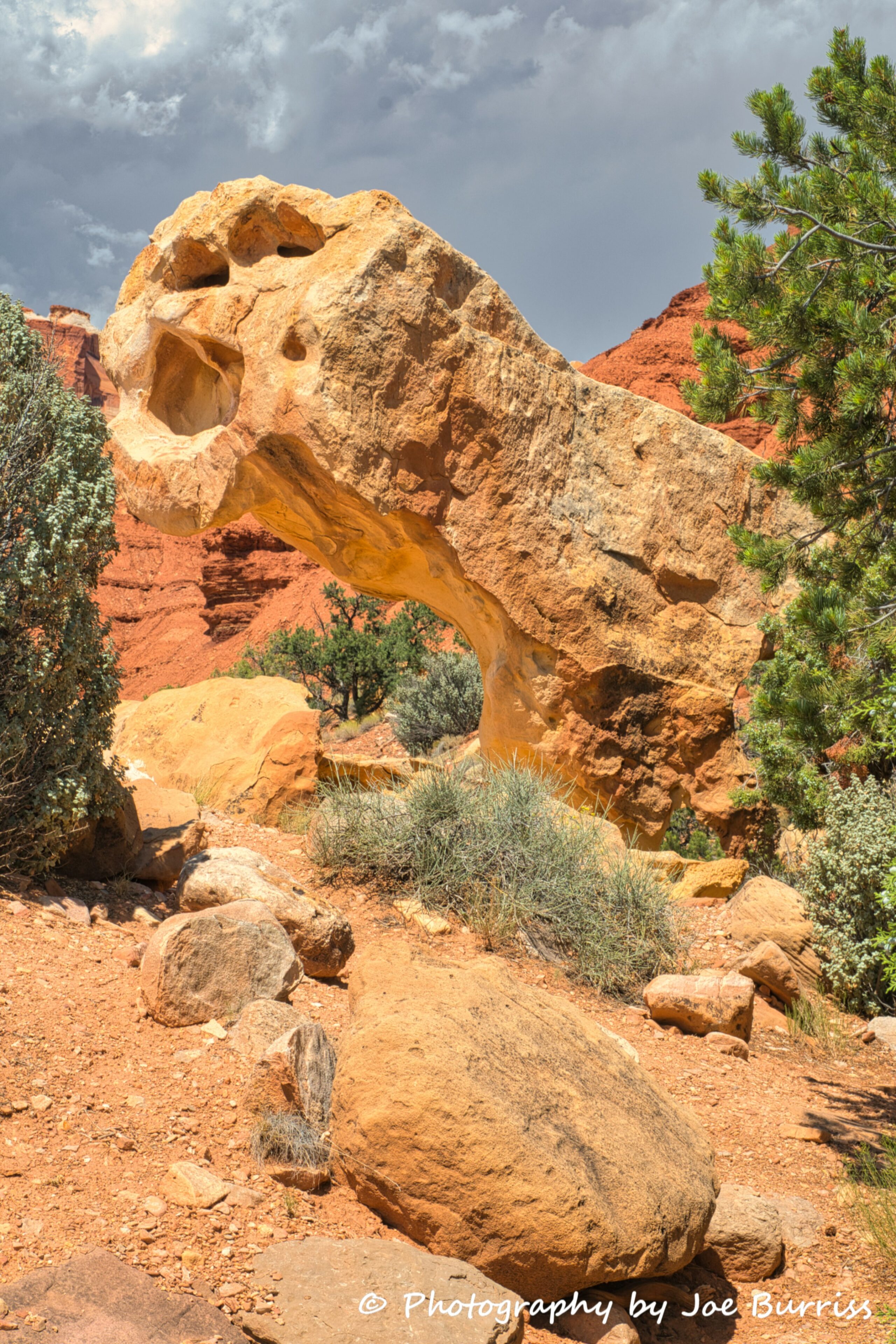
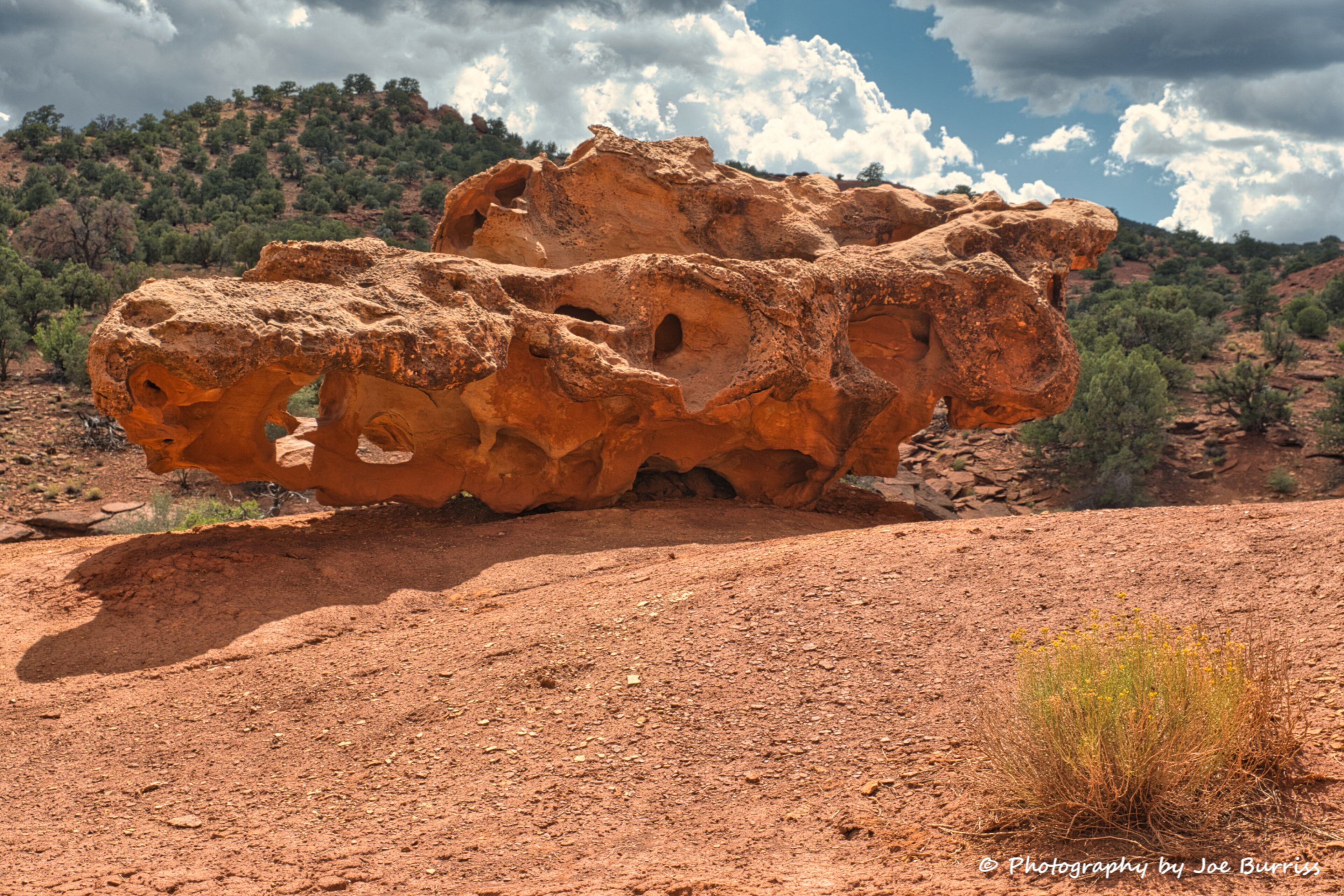
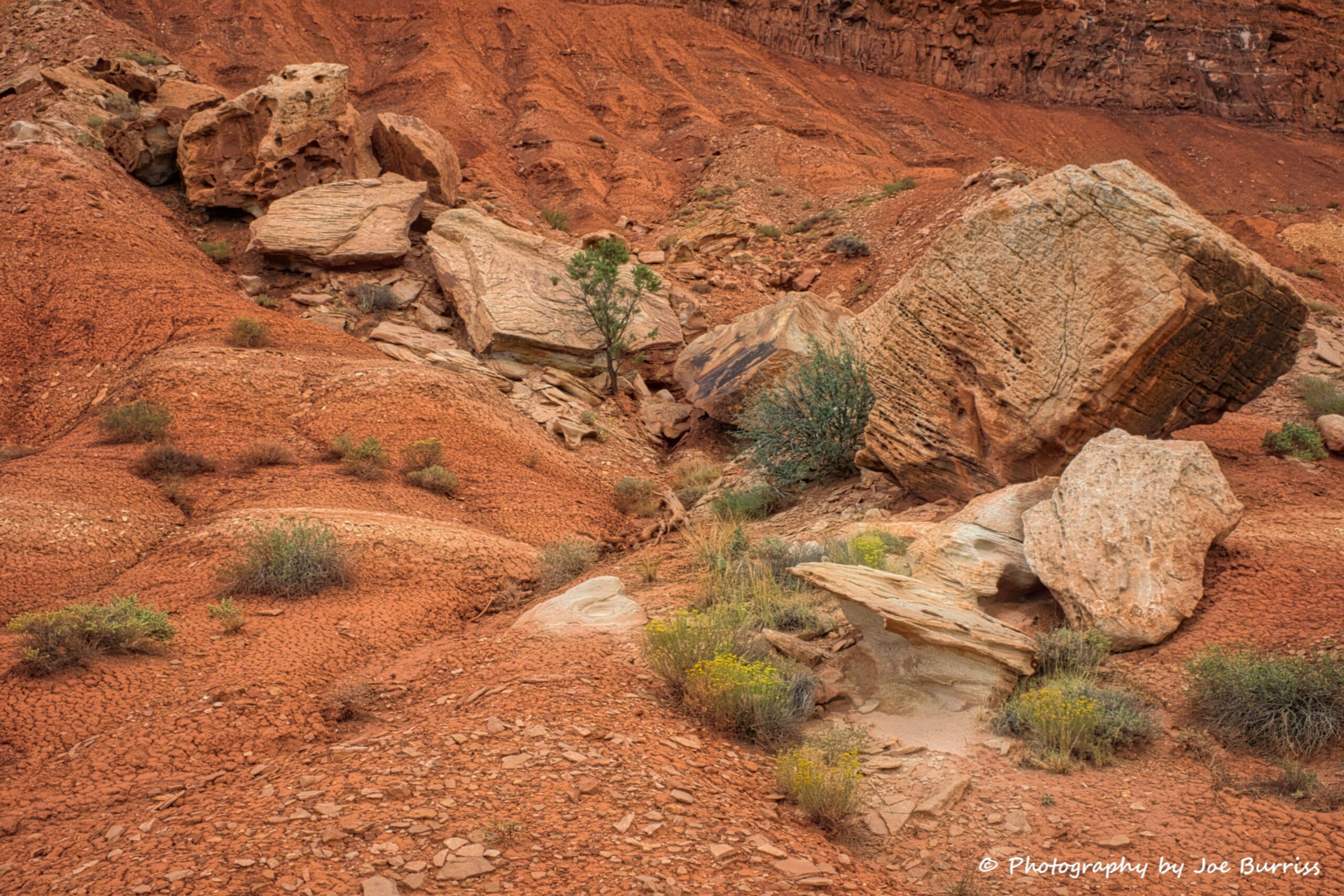
The paved scenic drive through the park, appropriately named Scenic Drive (there are two unpaved scenic drives, more on them later), has great views of the Waterpocket Fold and amazing Mother Nature rock art. It is a an 8 mile one way drive, so it can easily be finished in half a day. Why so long? You’ll want to stop and enjoy the scenery or complete a short hike.
Cathedral Valley District
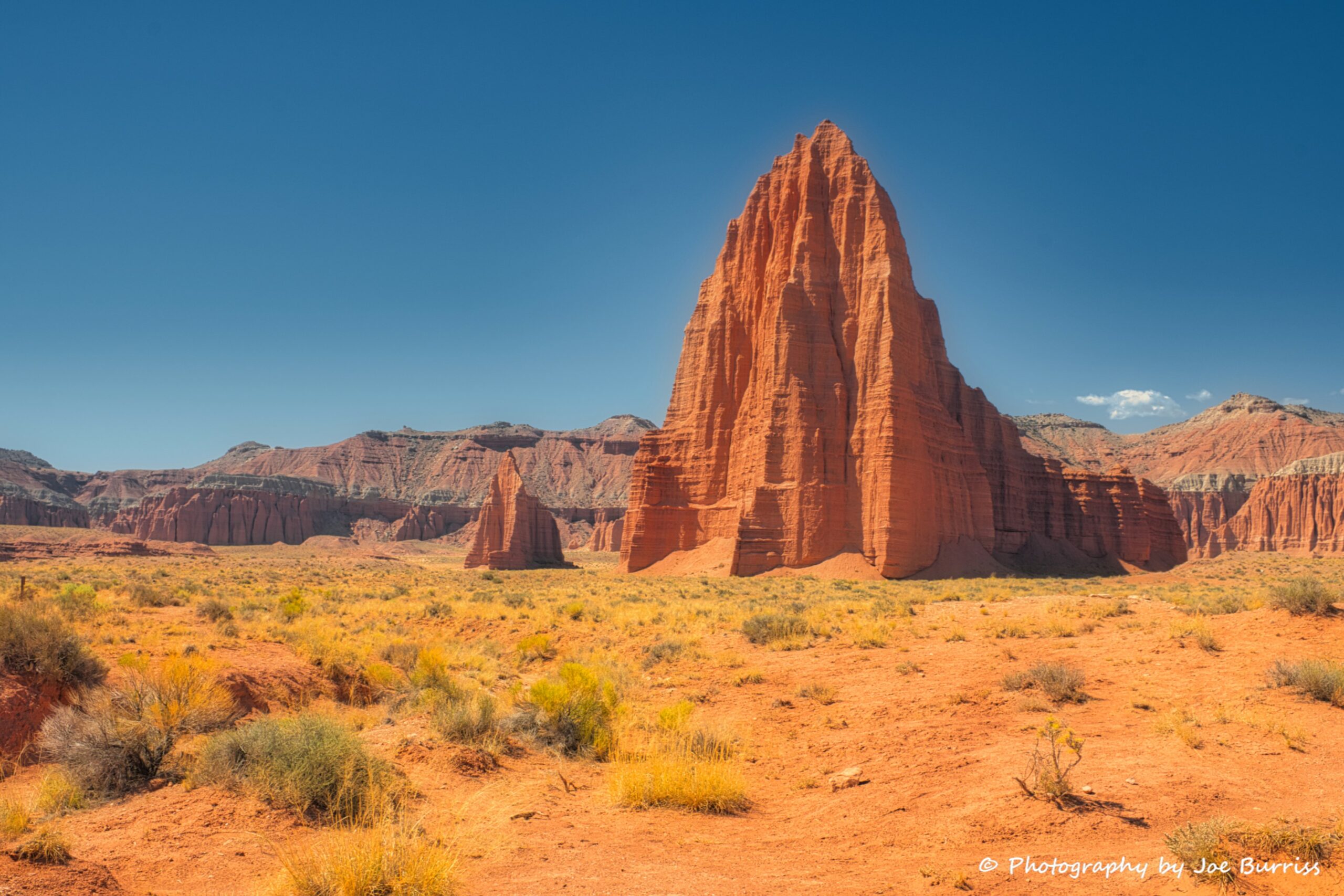
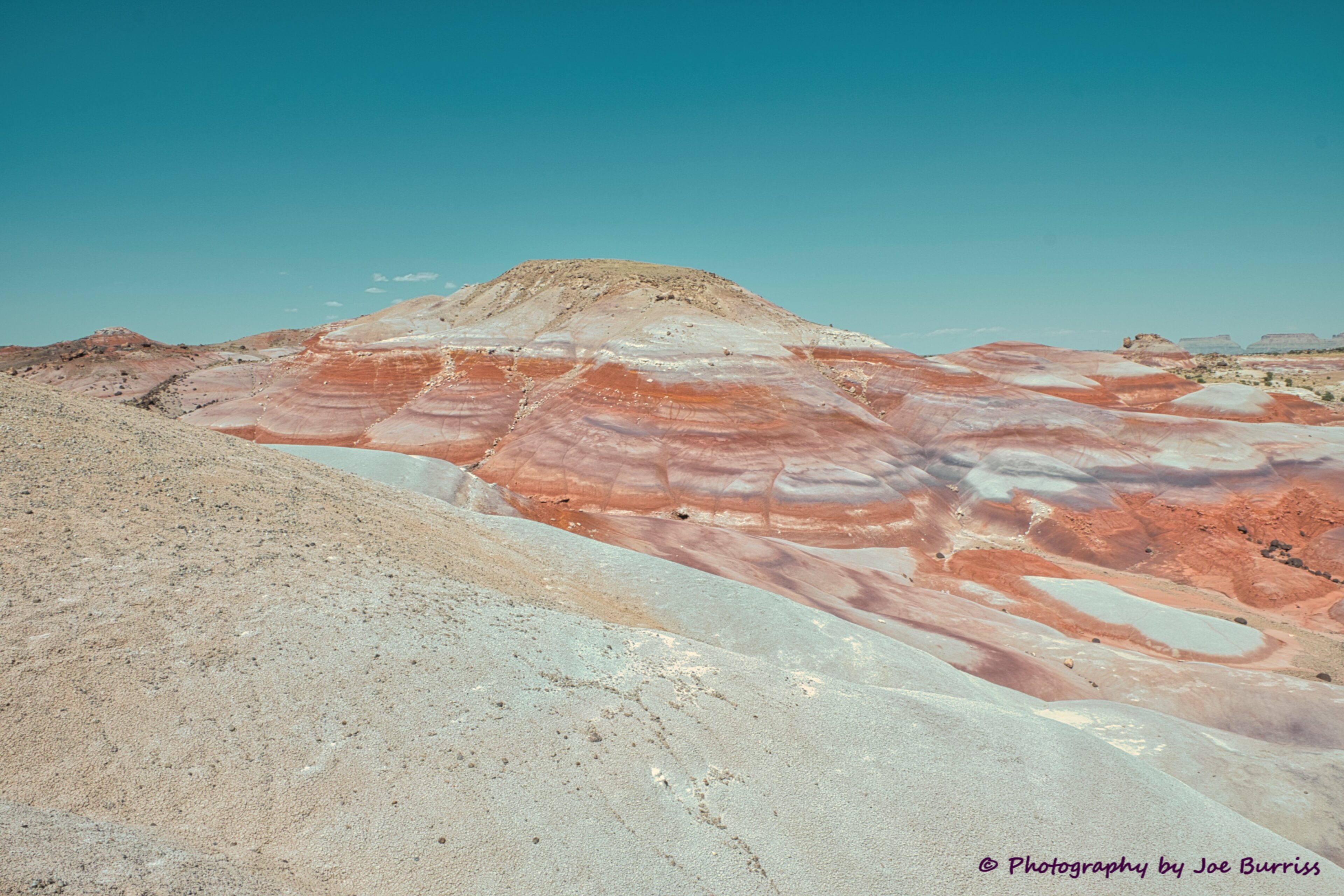
The Cathedral Valley District of Capitol Reef National Park is a remote, rugged region. It is famous for its many towering monoliths, painted desert landscapes, and how difficult it can be to get there and enjoy them. The Temple of the Sun and Temple of the Moon are the Cathedral District’s most famous sights and alone are worth the trip.
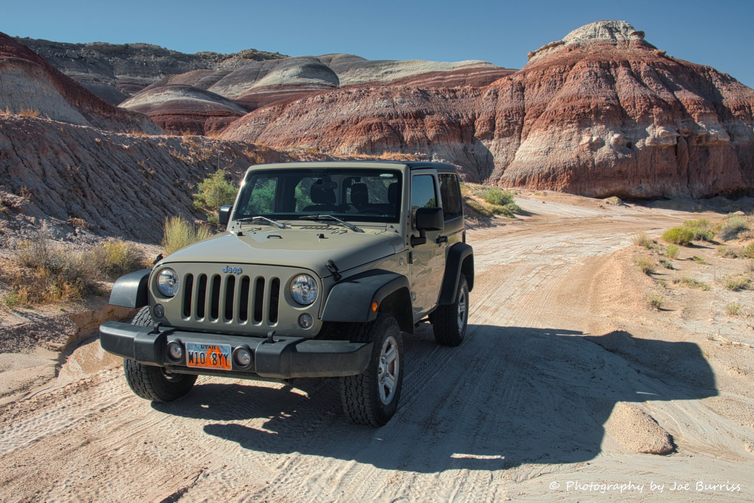
The Park Service recommends a vehicle with high ground clearance for this second scenic drive, which is almost 60 miles long. After discussing the road conditions with our campground, Joe elected to rent a Jeep for the trip. He did this for two reasons: our dually at 22 feet long would not be able to negotiate all of the switch backs and would likely get stuck teeter tottering when entering or exiting the river due to recent flood damage. The entire trip took 7 hours and he saw three other vehicles the entire day. So if you go, take plenty of water, food and some blankets in case you get stuck and need to spend the night in the desert. There is no walking out to get help, and while we were staying in the area we needed to use AC during the day and heat during the night. The road was very rough with the occasional large rock to climb, deep sand to plough through, and washed out sections due to recent flooding. All that being said it was a ton of fun to drive in a Jeep!
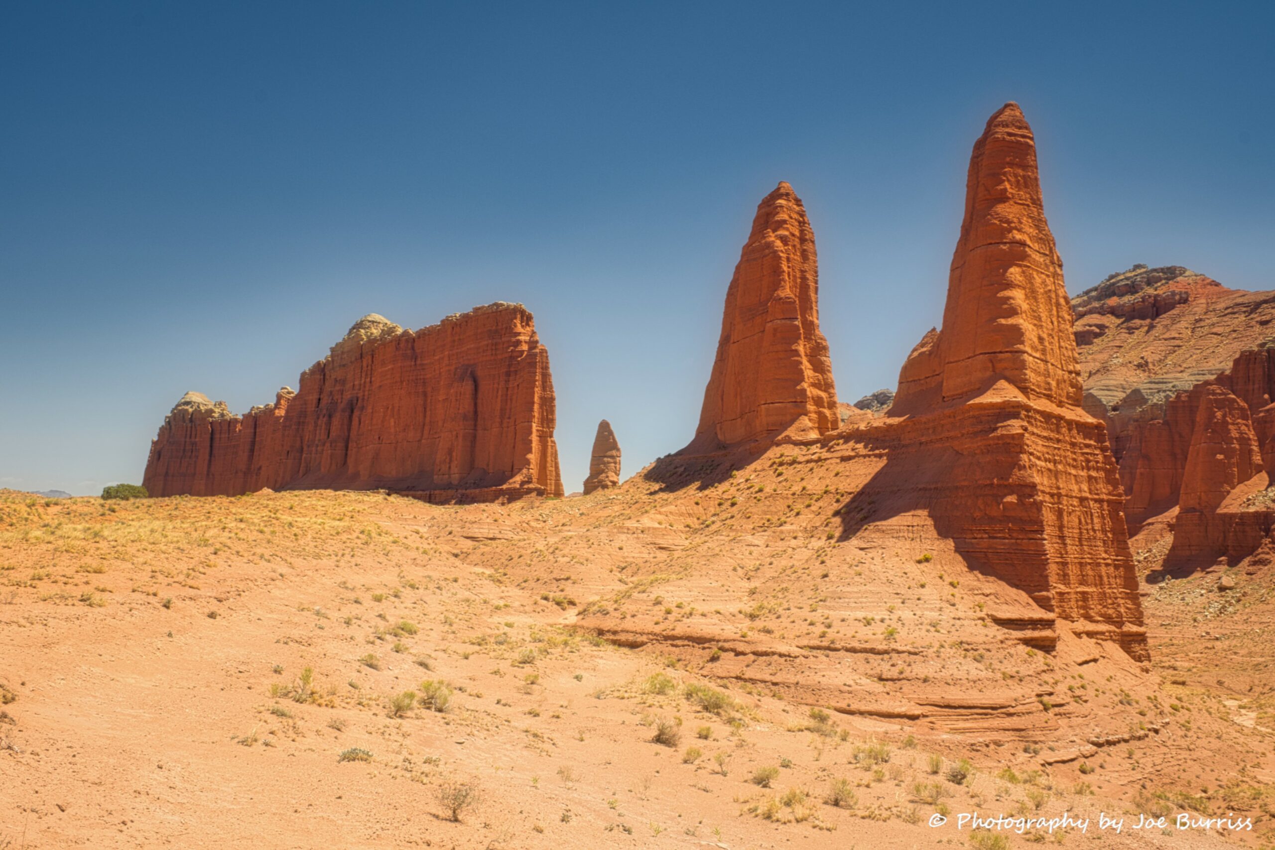
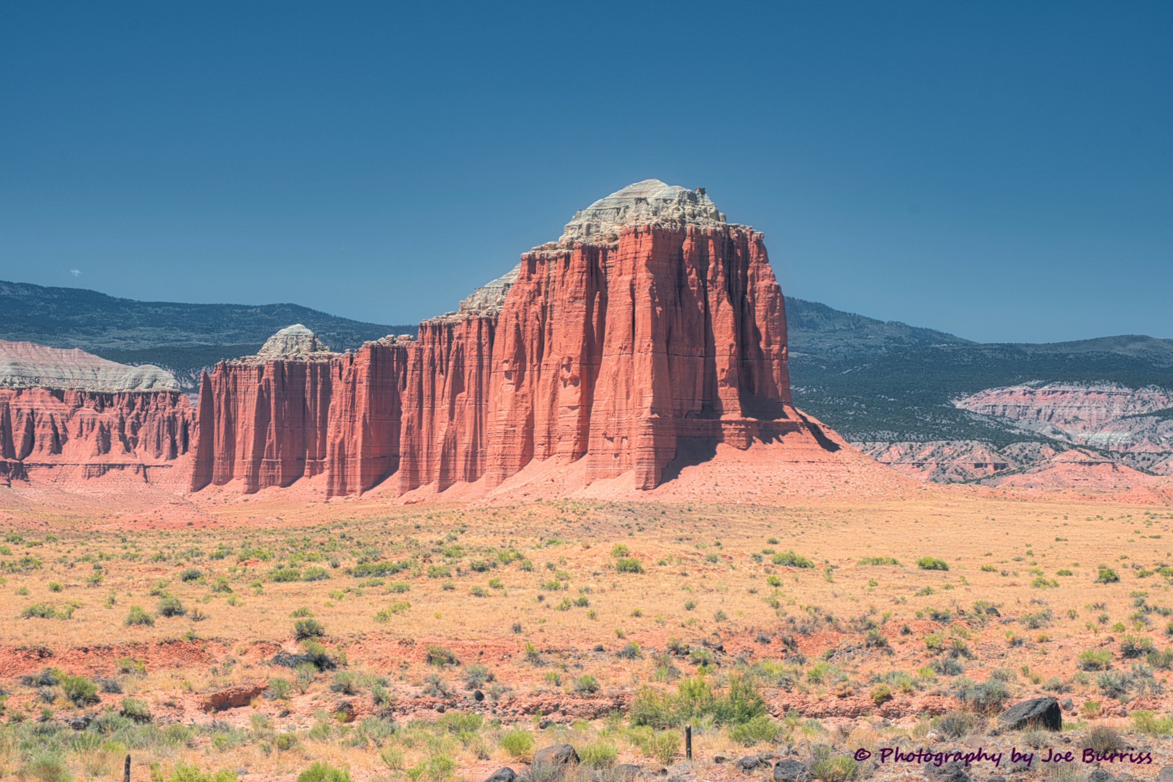
Charles Kelly, the first caretaker and superintendent of Capitol Reef, named the area Cathedral Valley because the eroded sandstone shapes reminded early explorers of ornate, Gothic cathedrals, with fluted walls, alcoves, and pinnacles.
Other Sights
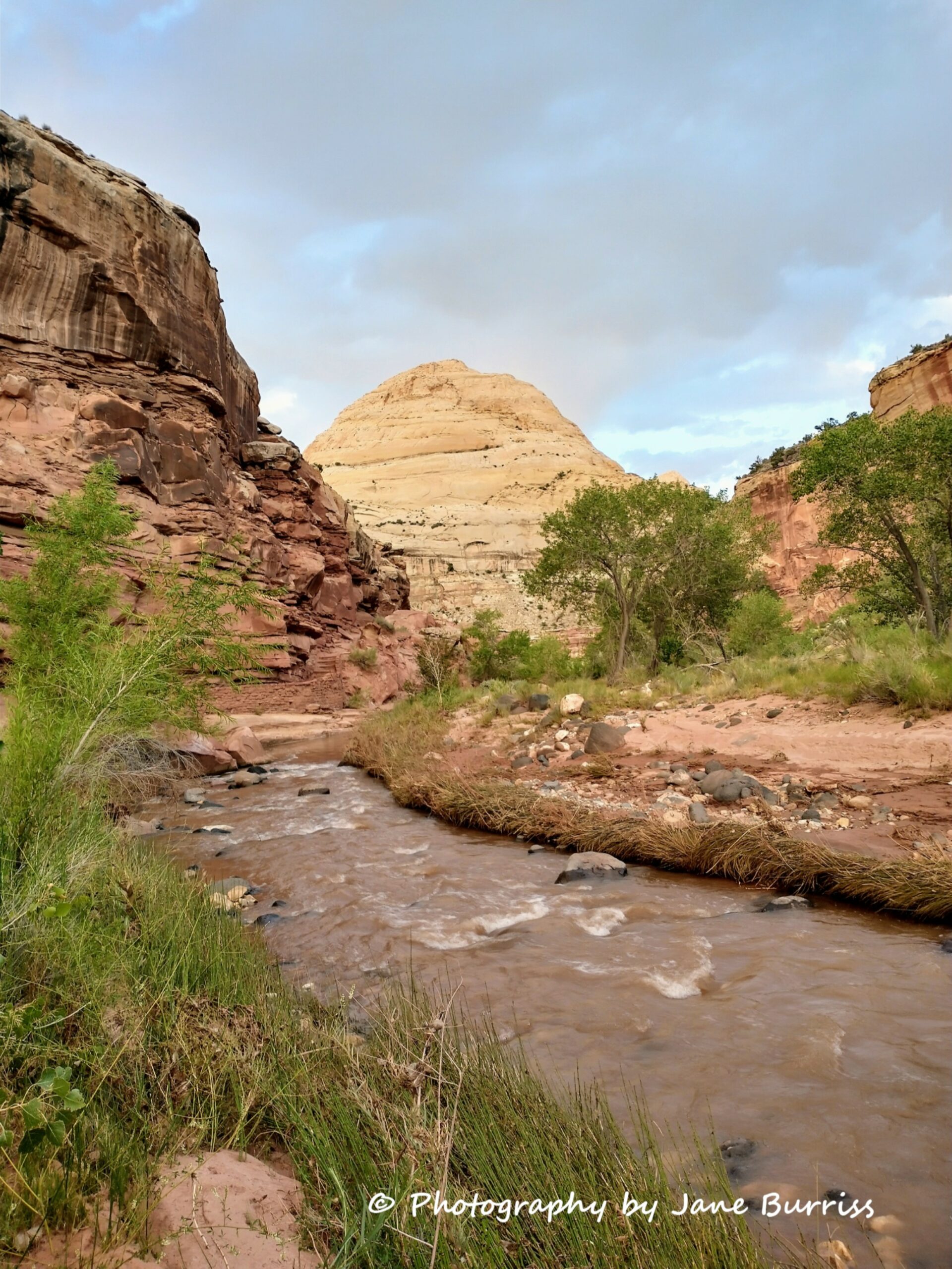
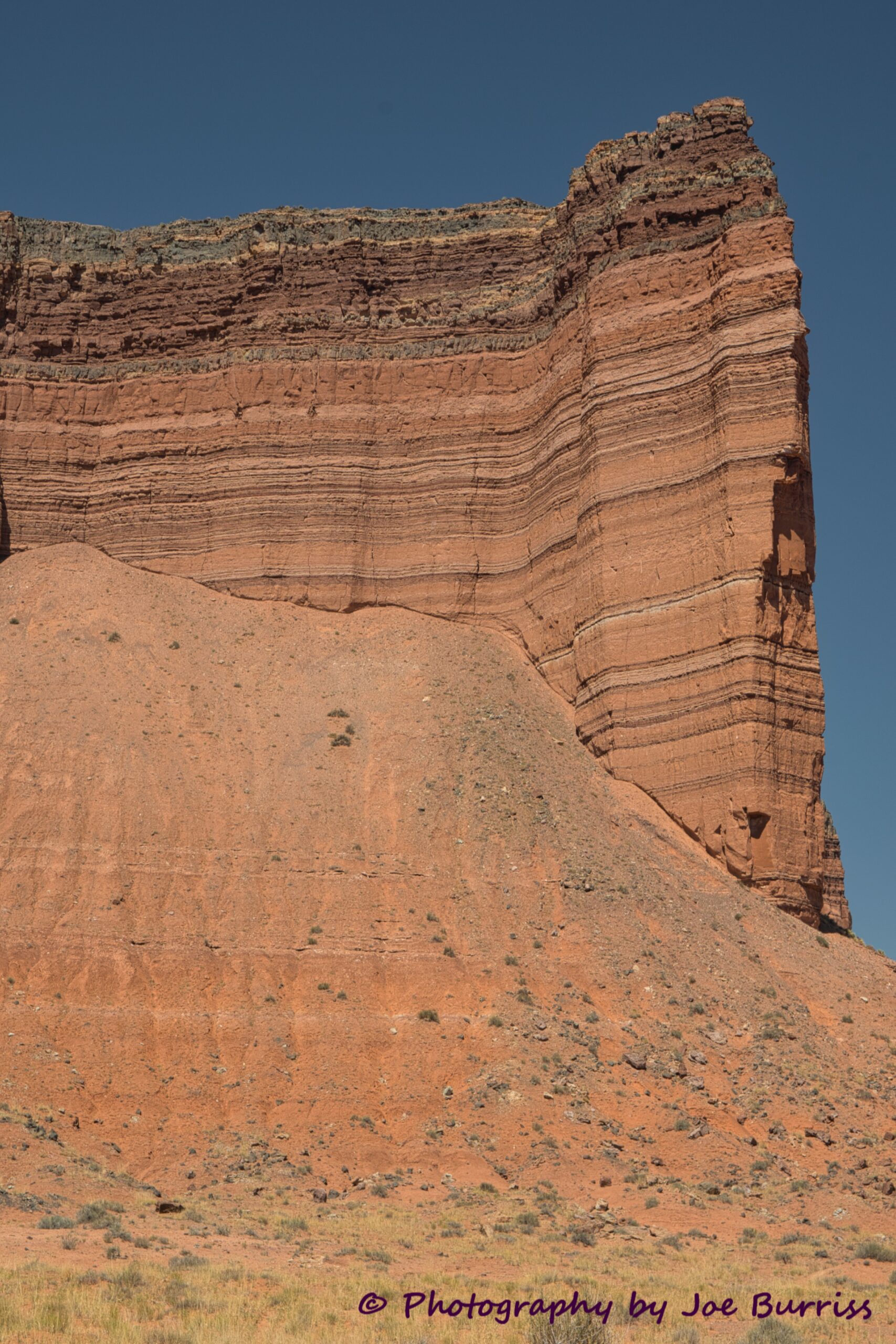
Capitol Reef National Park has a two part name. Part one, Capitol, is about the number of domes in the park that look like US capitols. The second part, Reef, is a nod to mariners. A reef is something that cannot be sailed over and must be sailed around. The mountains, cliffs, and valleys of this region were seen as reefs by the Europeans who first saw them. An obstacle that you must go around vs go through.
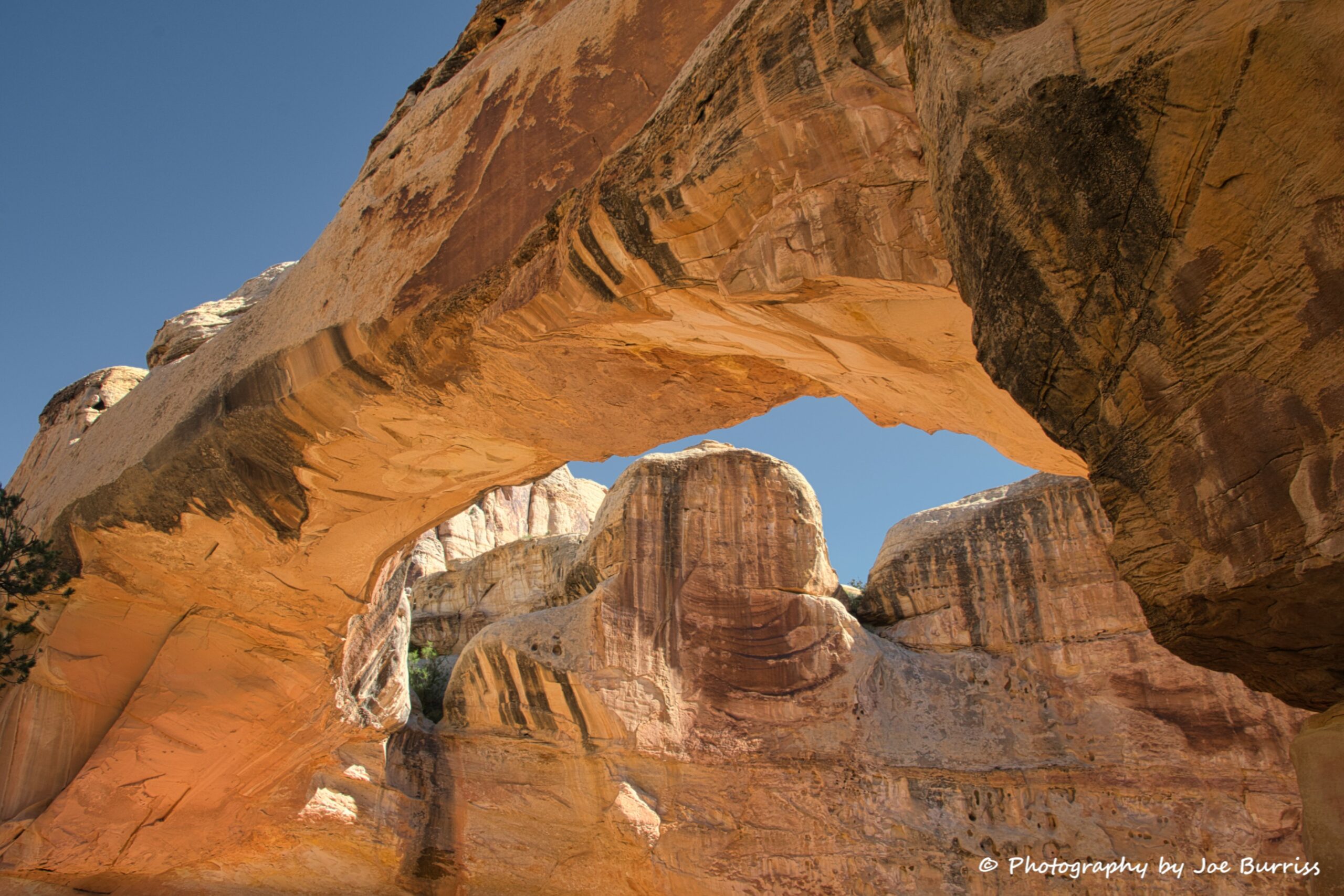
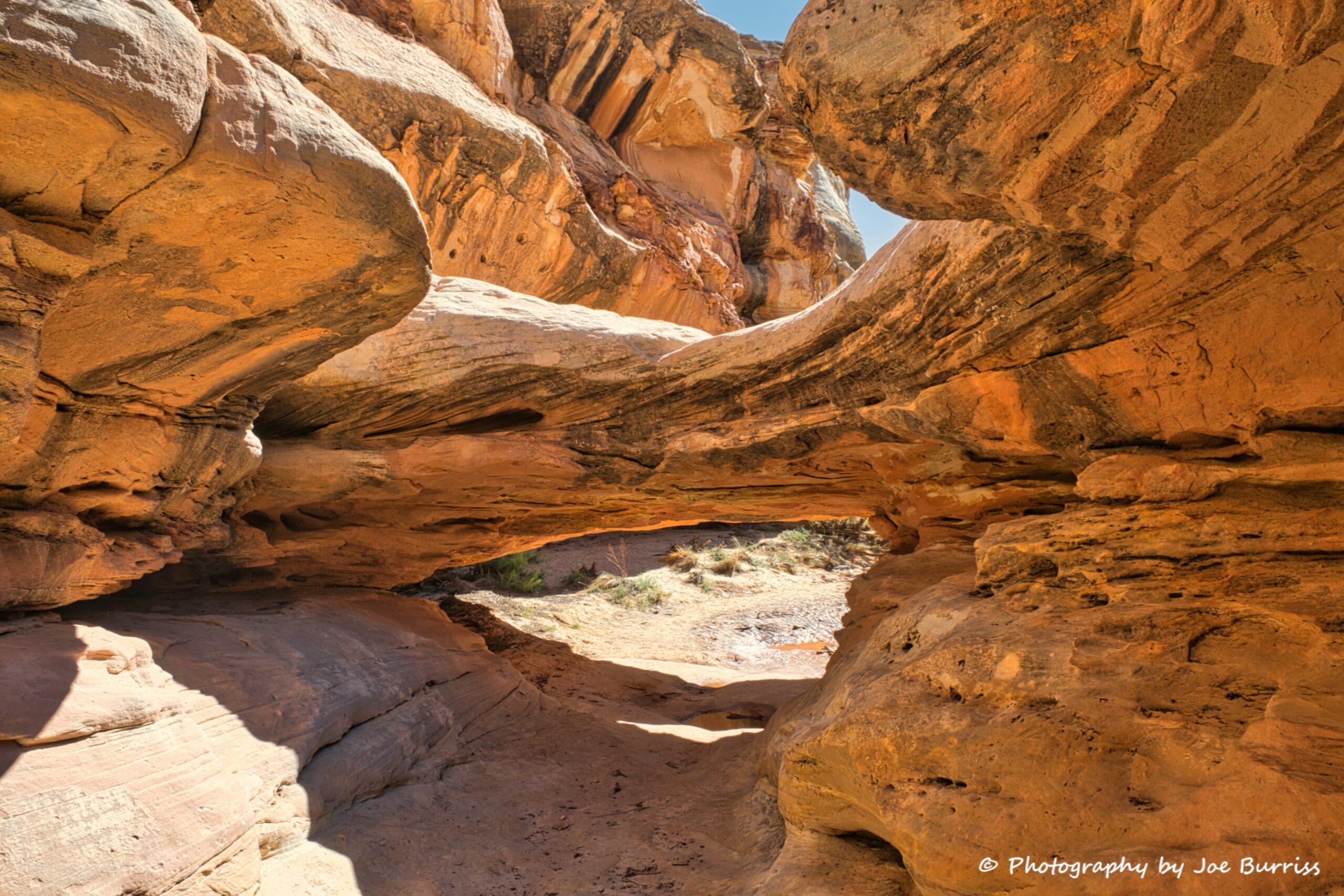
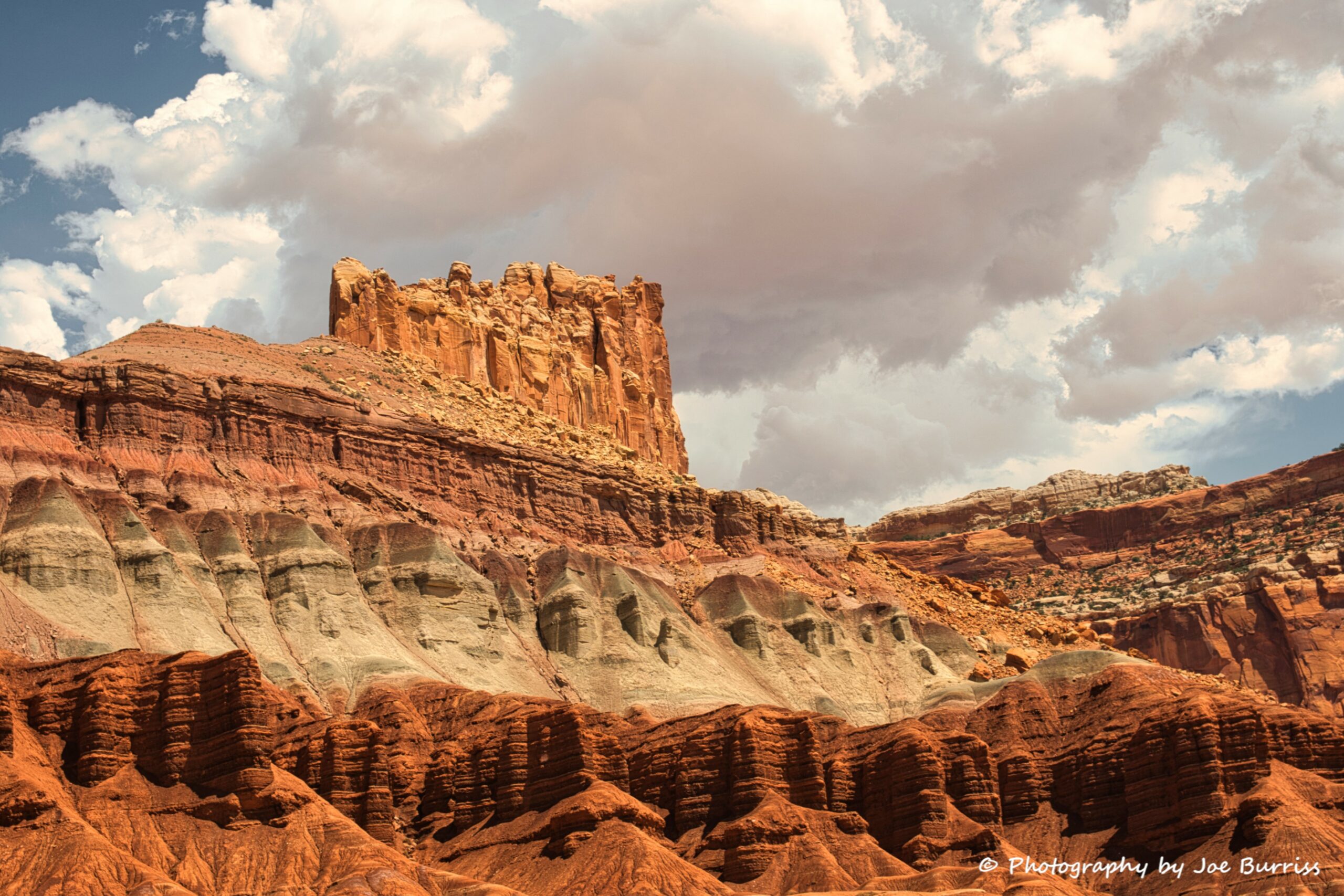
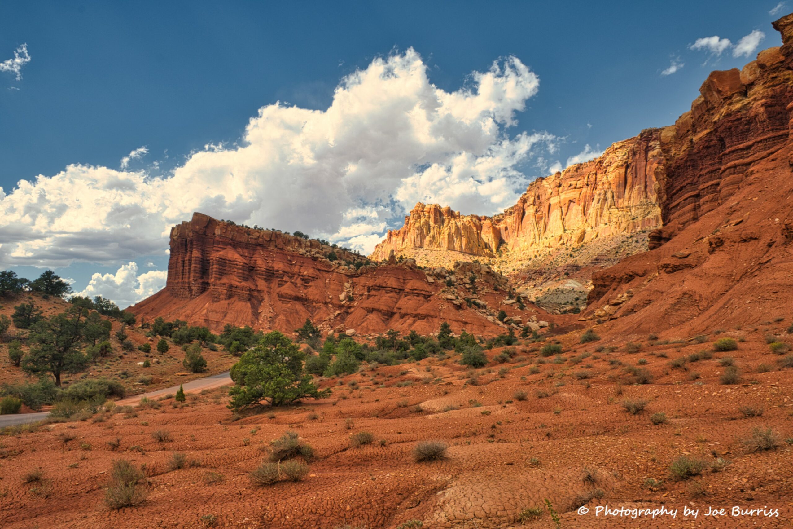
Capitol Reef National Park, at nearly 7000 feet in elevation, was the highest place we stayed in 2020. It is a beautiful area with so many outdoor recreation options that we would like to return and do some more exploring. One thing left undone is the third scenic drive, the Capitol Reef section of the Burr trail, which includes the original switchback section and some great longer views of the the Waterpocket Fold and many hikes throughout the park. We also found this area to have more food options than the areas around the Utah National Monuments. So if you decide to visit the other four National Parks of Utah’s Mighty Five don’t forget Capitol Reef; it is well worth the trip!