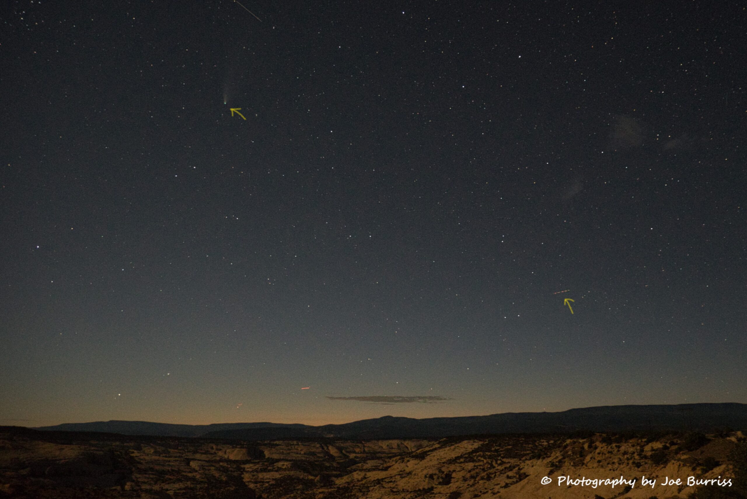
Scenic Byway 12, or Utah Hwy 12, snakes along for 124 miles between Panguitch, UT and Torrey, UT. Completed during the Great Depression by the CCC (Civilian Conservation Corps), it is the only paved highway through this region. Along the way you can stop and visit two national parks, one national monument, a national recreation area, three state parks, and a national forest. That adds up to lots of outdoor recreation choices. As you meander along Hwy 12 most of the land you see is public, owned by the American people and managed by various federal agencies. This blog is organized as we drove from Panguitch to Torrey. We spent 5 weeks exploring the area and didn’t come close to seeing even half of it. This blog covers the places we visited.
Red Canyon
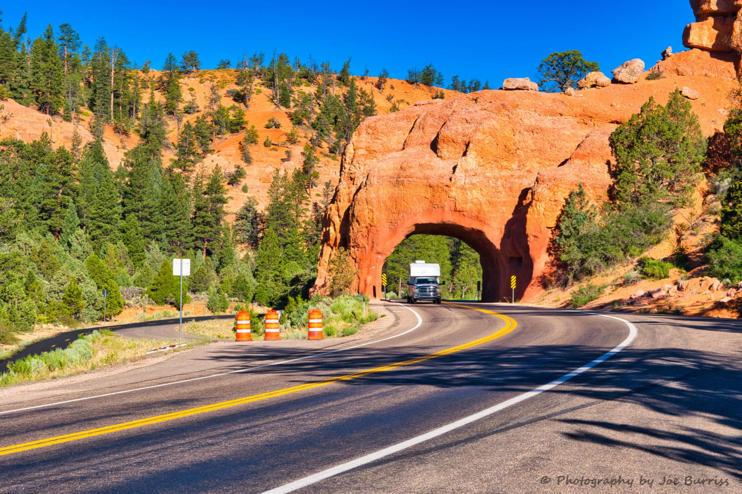
Great stopping place to enjoy the ochre red spires and rock formations. We have only driven through it, but it is a beautiful place. Someday we’ll stop, but heck Bryce Canyon is only a few miles further.
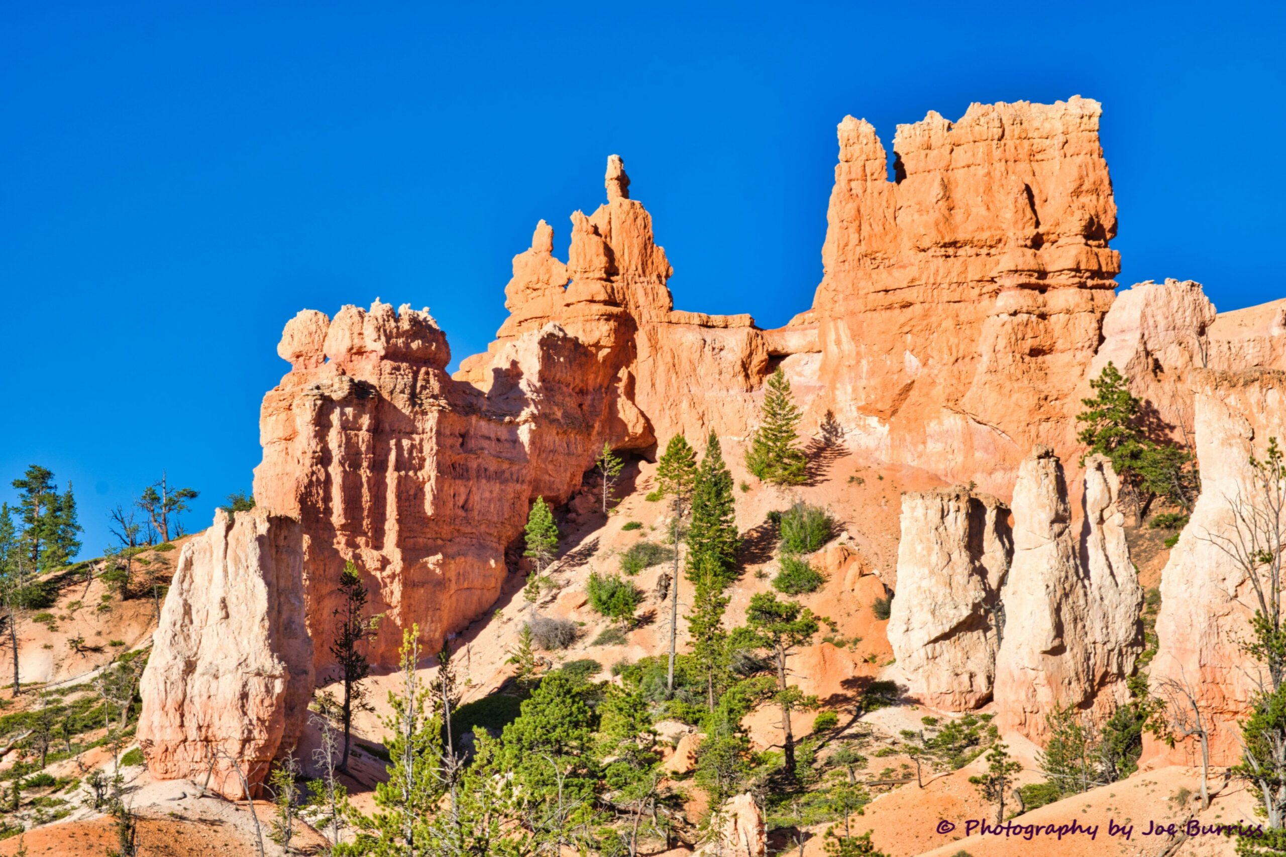
Bryce Canyon
We did a whole blog on Bryce Canyon and won’t add anything here.
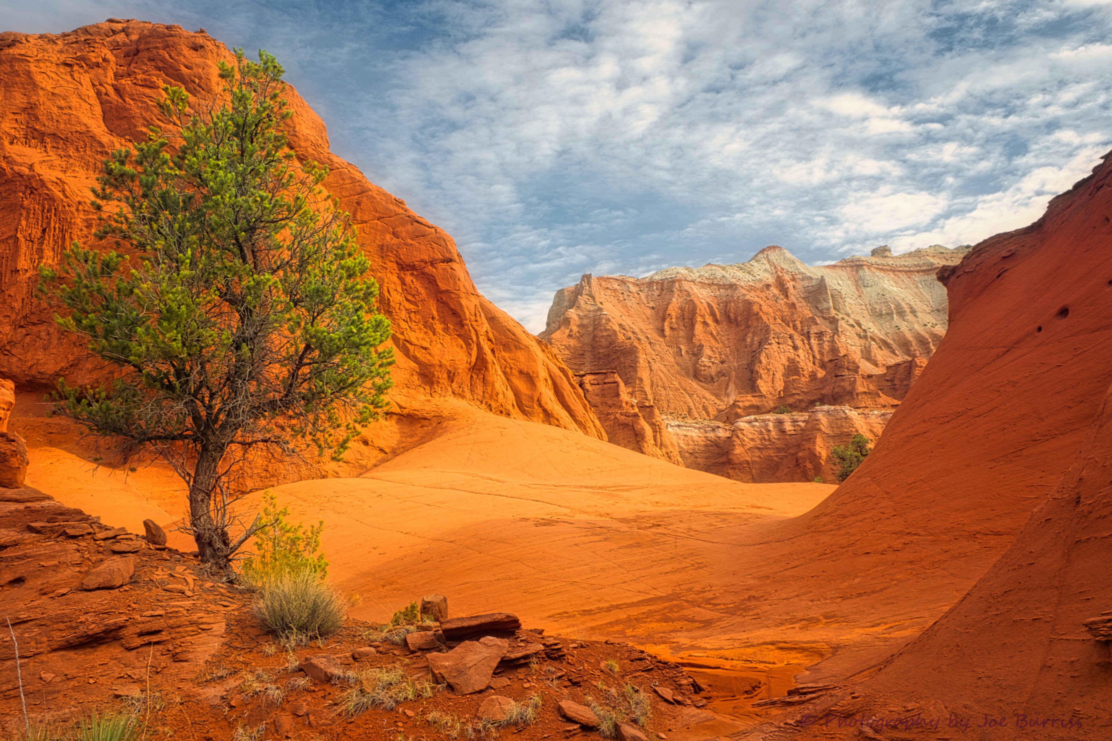
Kodachrome State Park
We did a whole blog on Kodachrome State Park. It is here to show where to find it along the road.
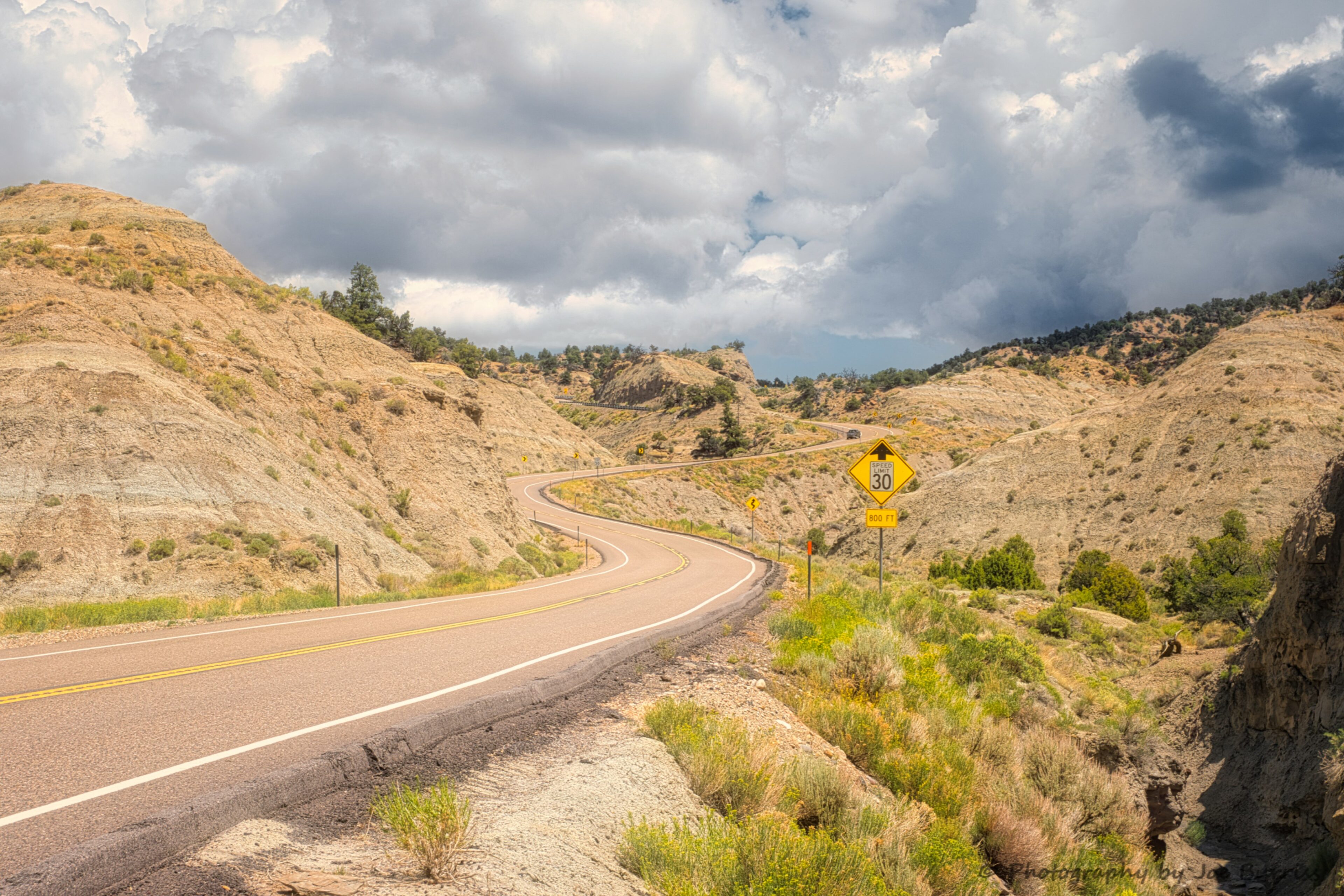
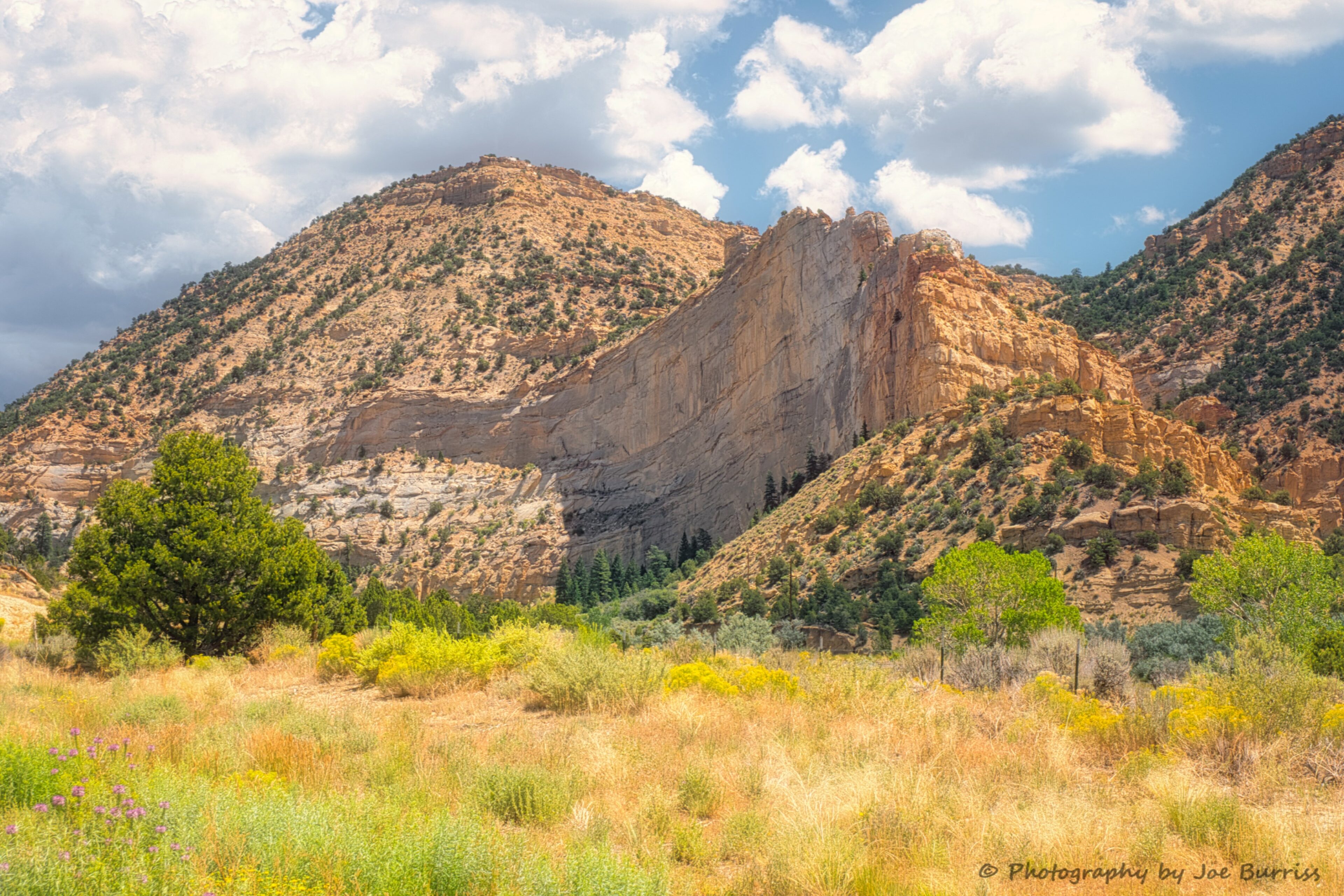
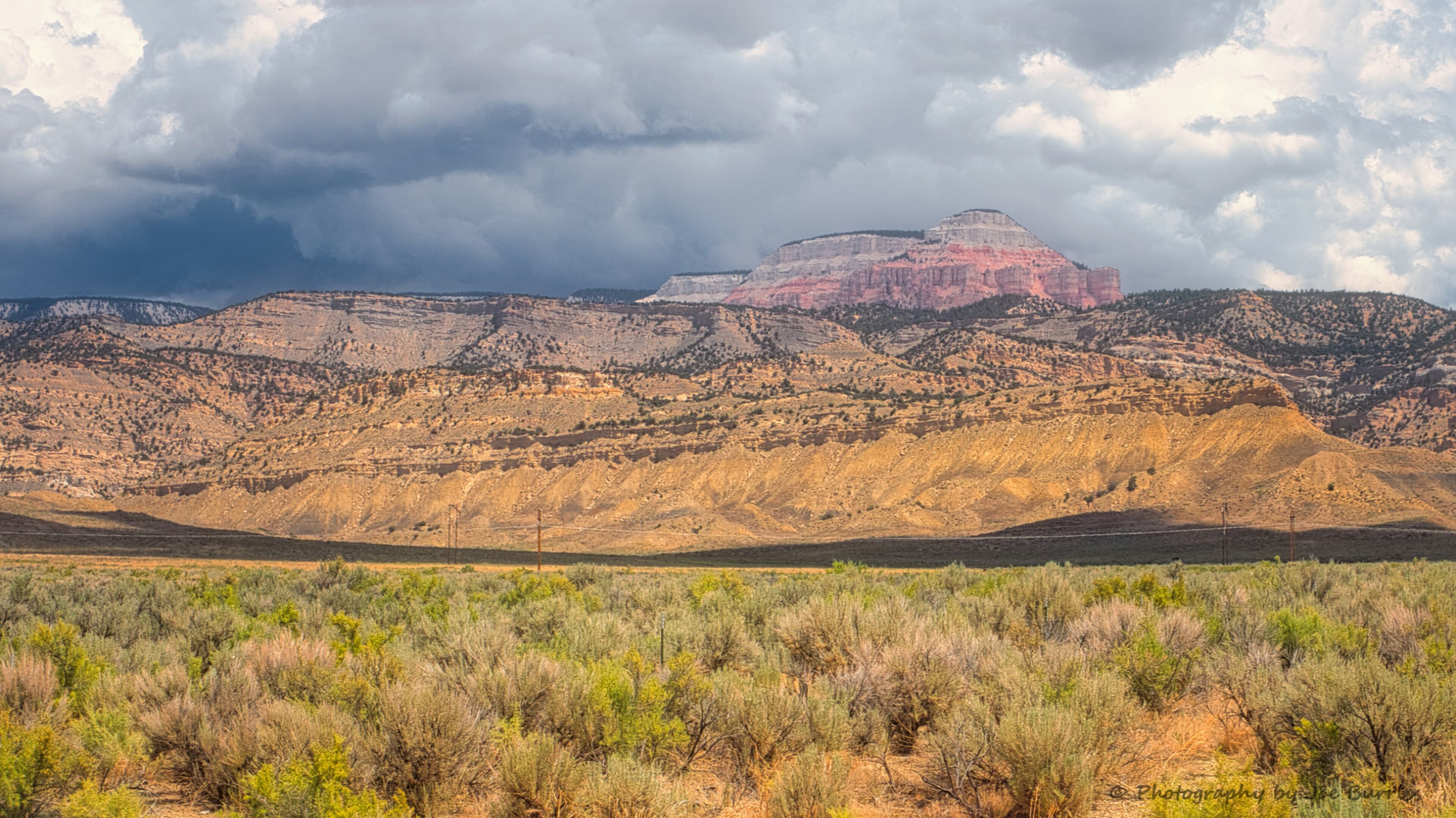
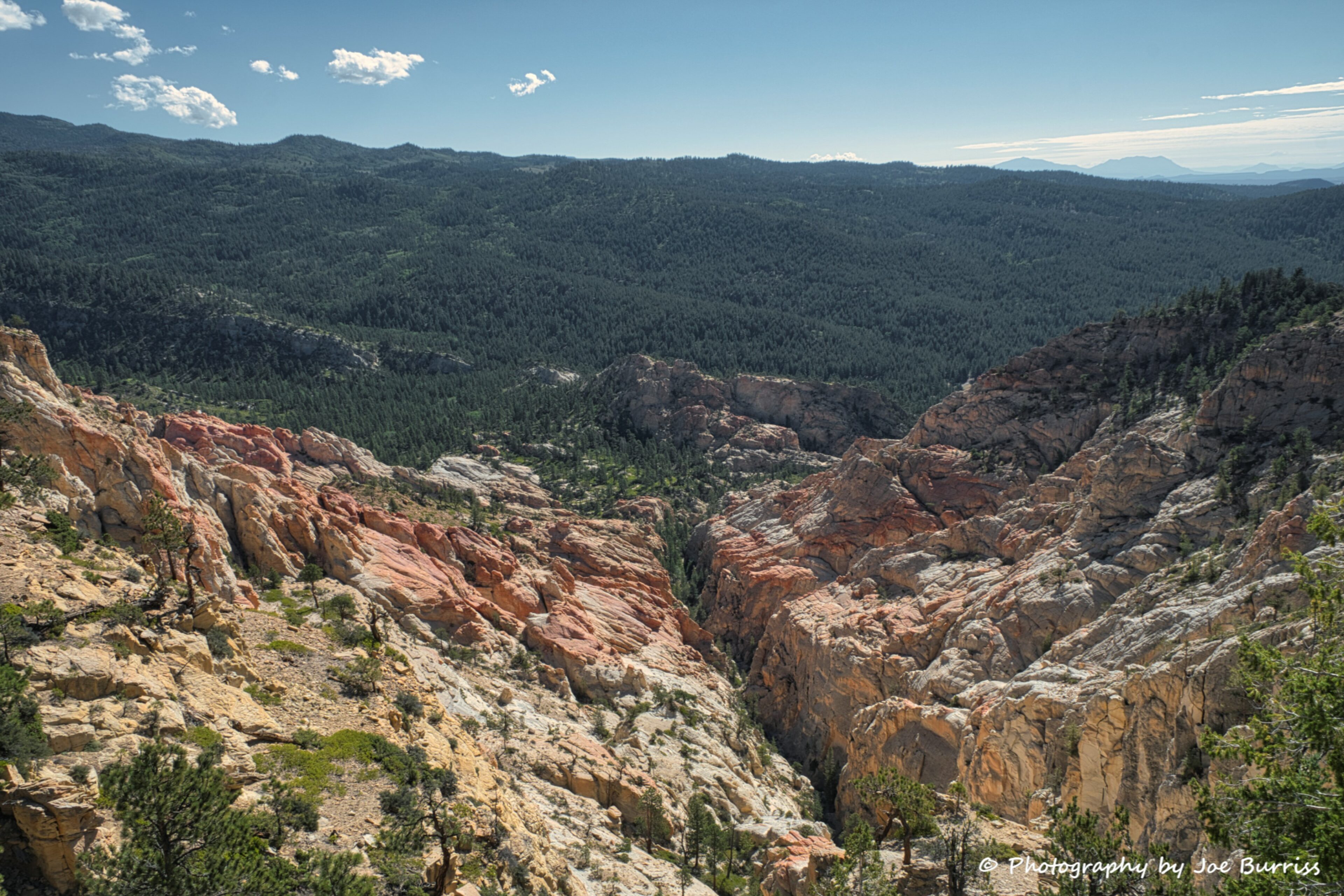
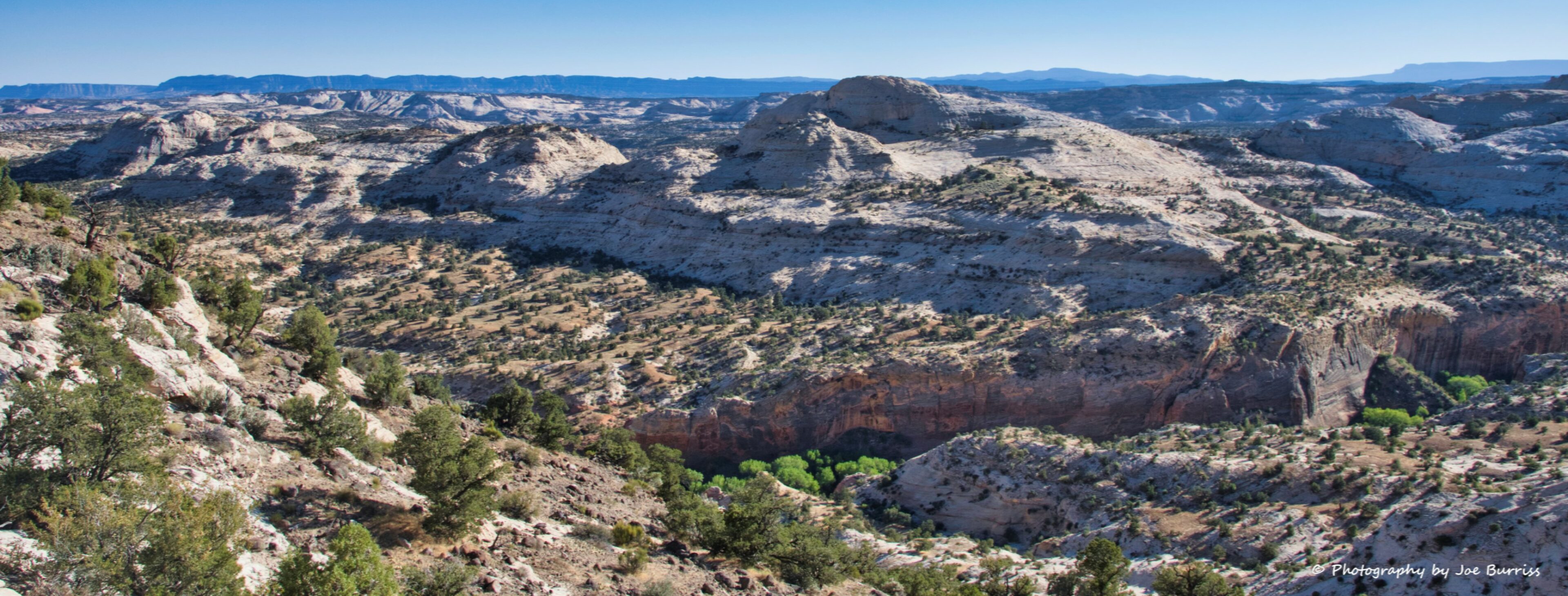
Roadside Views Bryce Canyon to Escalante
Dixie National Forest
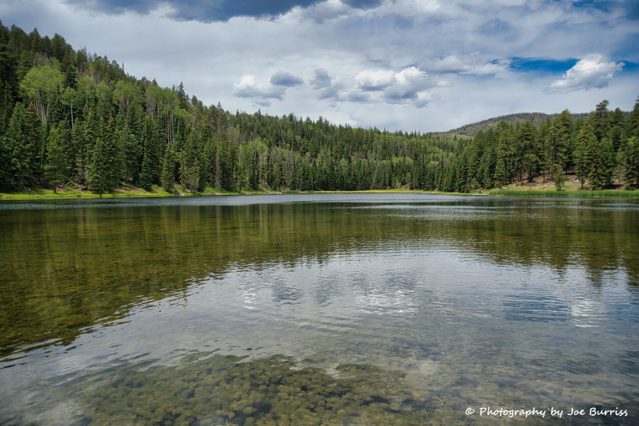
We didn’t explore much of the massive Dixie National Forest, but we did go kayaking in Posey Lake located about 20 miles from Escalante at an elevation of 8800 feet. It is loaded with trout and has a small population of ducks. It was a fun afternoon for us exploring the lake – it almost felt like we were back in northern WI.
Hell’s Backbone
Hell’s Backbone is a rugged area that bridges between towering Boulder Mountain on the north and canyons cut by the the Escalante River and its tributaries on the south. The Hell’s Backbone Road is a winding gravel route that follows ridges and mountain contours through the area. The road forks from Scenic Byway 12 near the town of Boulder. From there it runs west, climbing halfway up Boulder Mountain to connect with the Posey Lake/Pine Creek Road. That road comes out north of the town of Escalante, allowing travelers to complete a 38-mile loop back down to Scenic Byway 12.
Hell’s Backbone Road is gravel, graded occasionally, and suitable for family cars during dry weather. It runs from juniper desert up into the lush pine and aspen forest on Boulder Mountain. Like Utah Hwy 12 it was built by CCC (Civilian Conservation Corps) workers during the Great Depression era.
About mid-way along the route, the road crosses the Hell’s Backbone Bridge. In that area it follows contours just above the Box/Death Hollow Wilderness Area and provides outstanding views down into rugged canyons. Several trailheads allow hikers and backpackers to access various parts of the wilderness.
Hole in the Rock Road
We did a whole blog on Hole in the Rock Road. It is here to show where to find it along the Scenic Hwy 12.
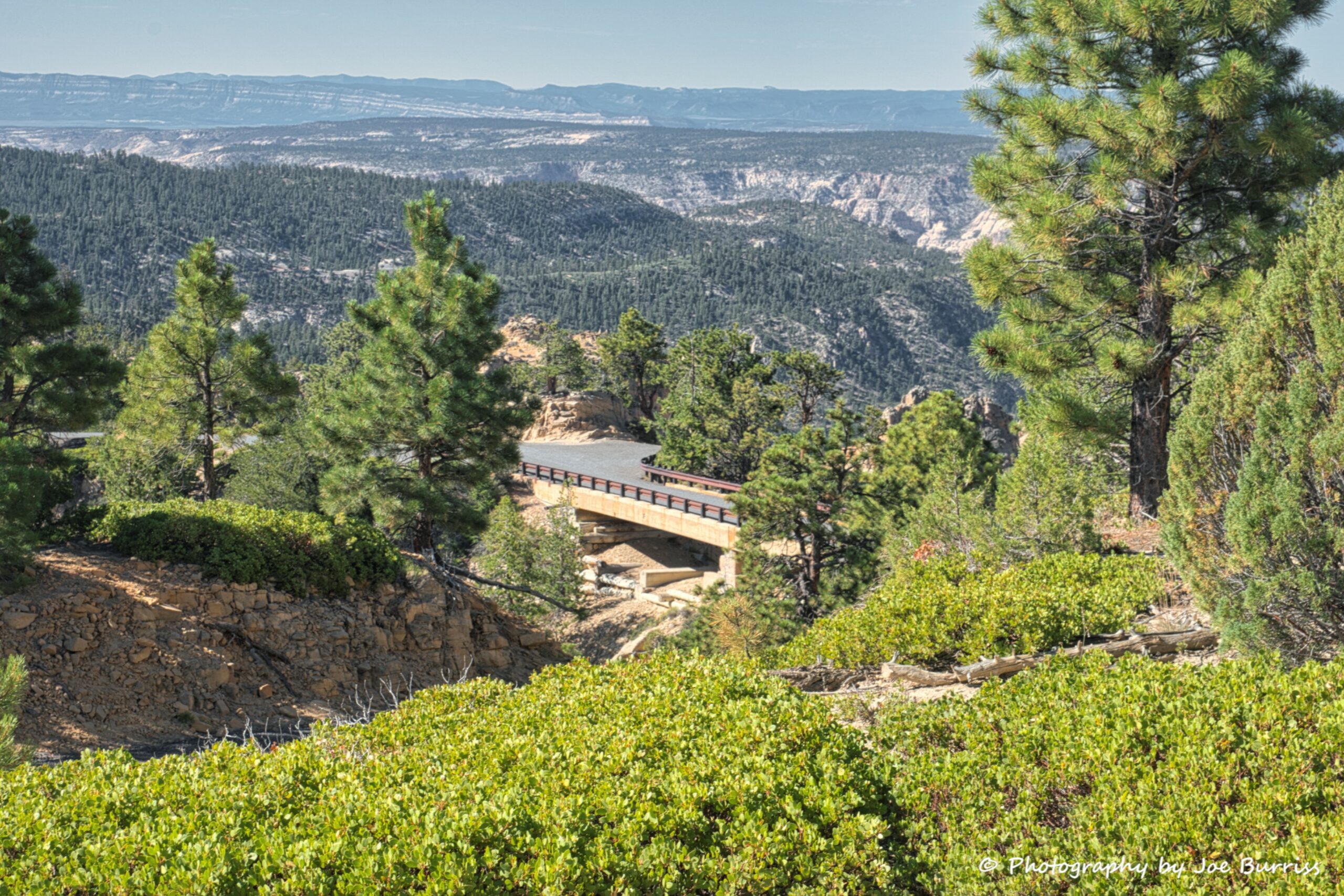
Roadside View Escalante to Boulder
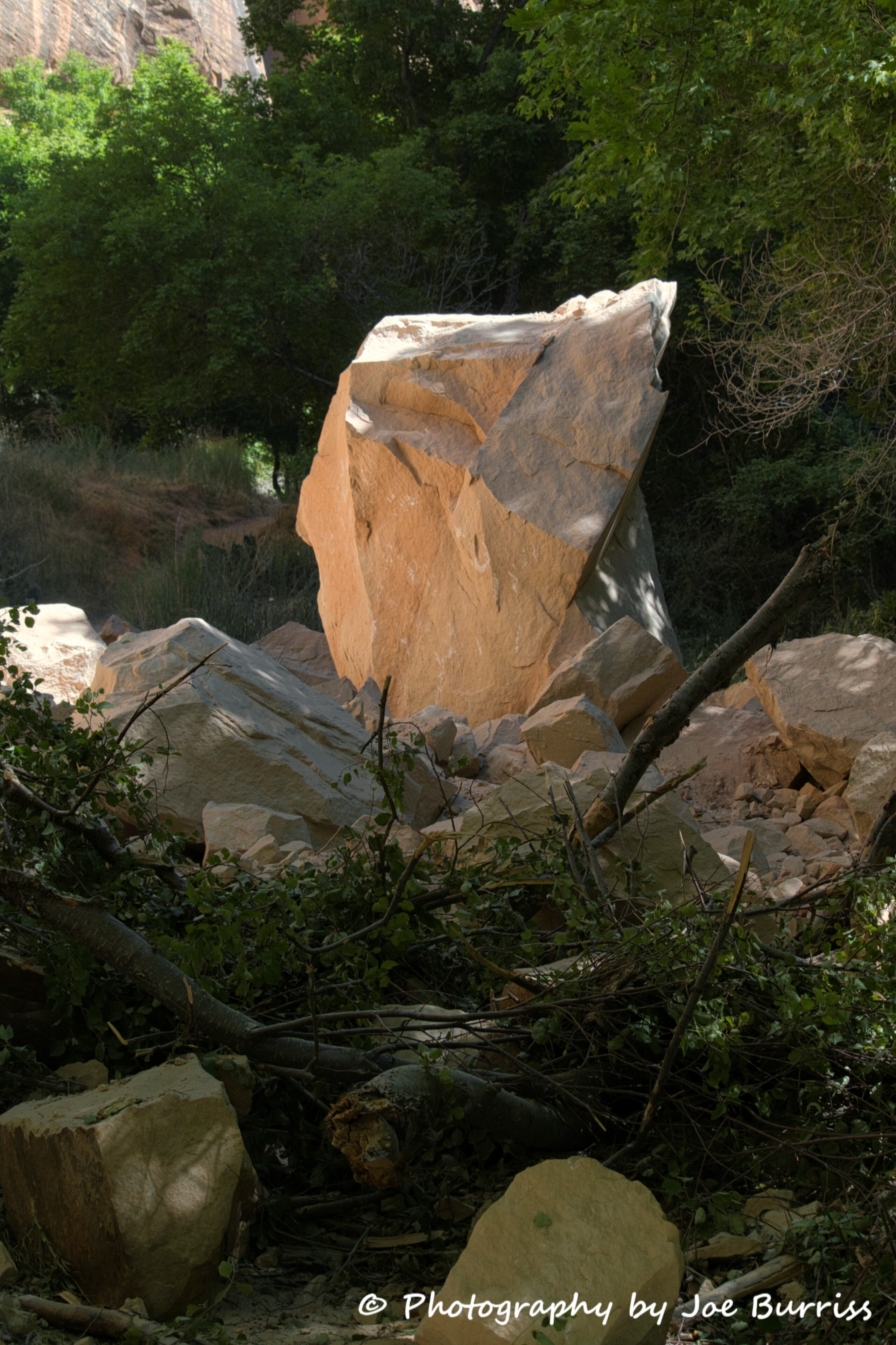
Lower Calf Creek Falls
Lower Calf Creek Falls is a very popular 7 mile hike along Lower Calf Creek to a beautiful waterfall. Joe hiked it one morning and arrived before the crowds to take some photos prior to the swimming getting started in the pool formed by the falls. It is a scenic hike through a valley.
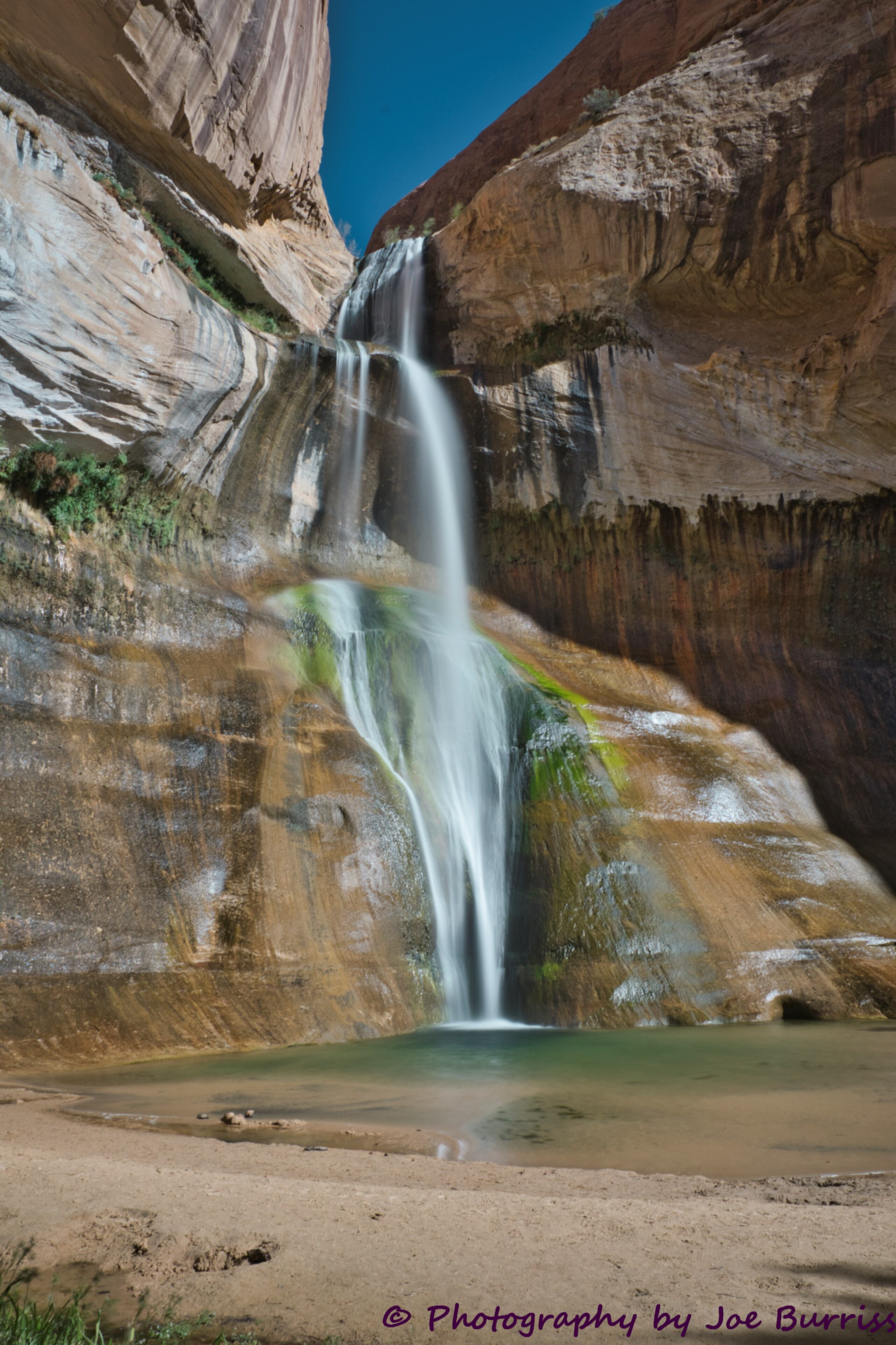
Joe was reminded that all of the rocks in the valley came from the valley walls when an avalanche occurred while he was at the falls. He heard a really deep roar that lasted a few seconds. There was no associated earthquake; it just wasn’t that big. More than an hour after the avalanche the dust from it still hung in the air. Fortunately, nobody was injured or killed.
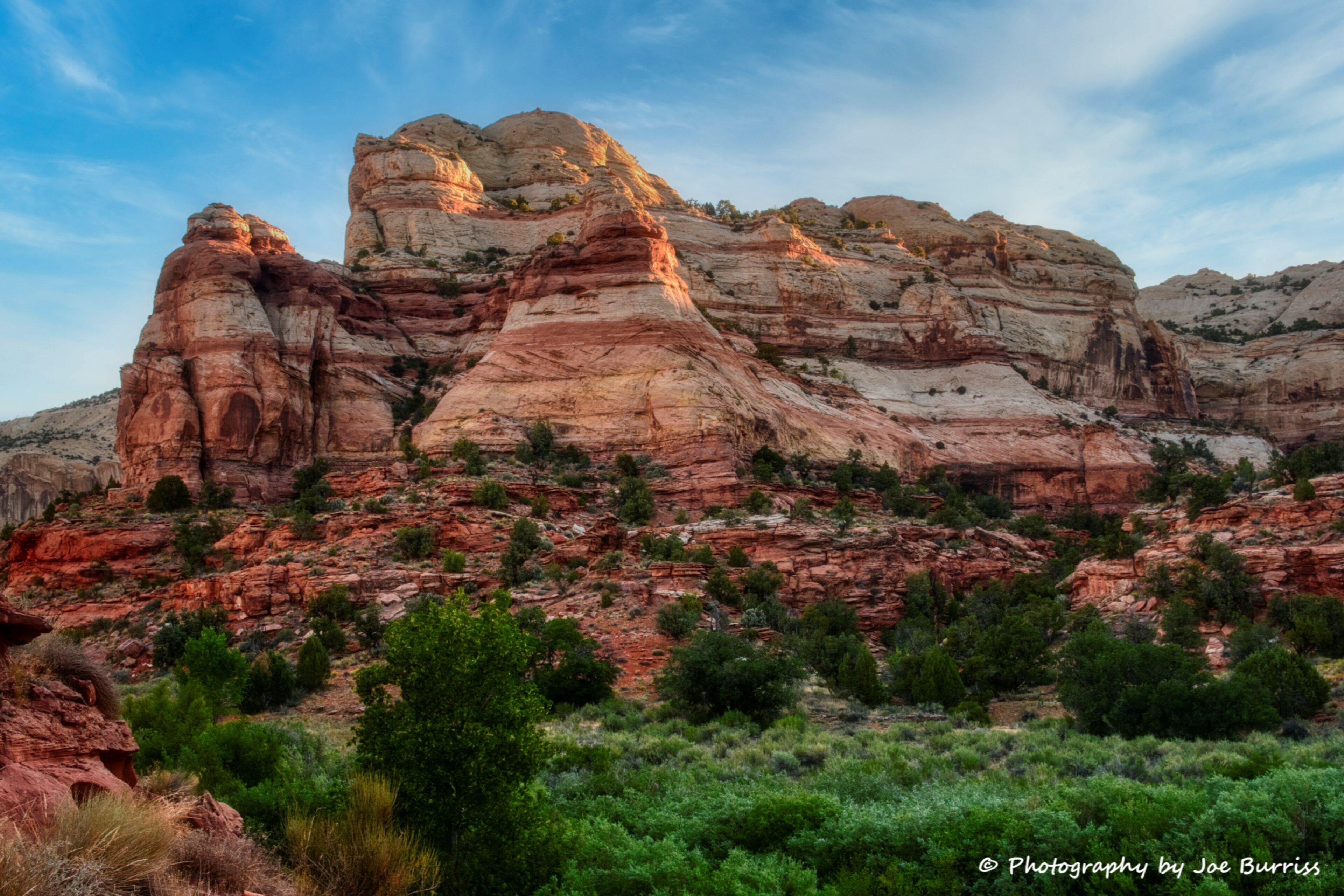
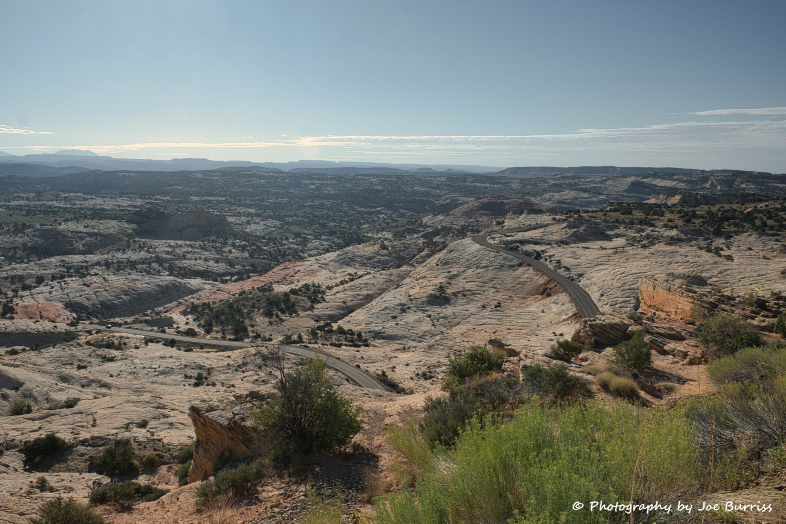
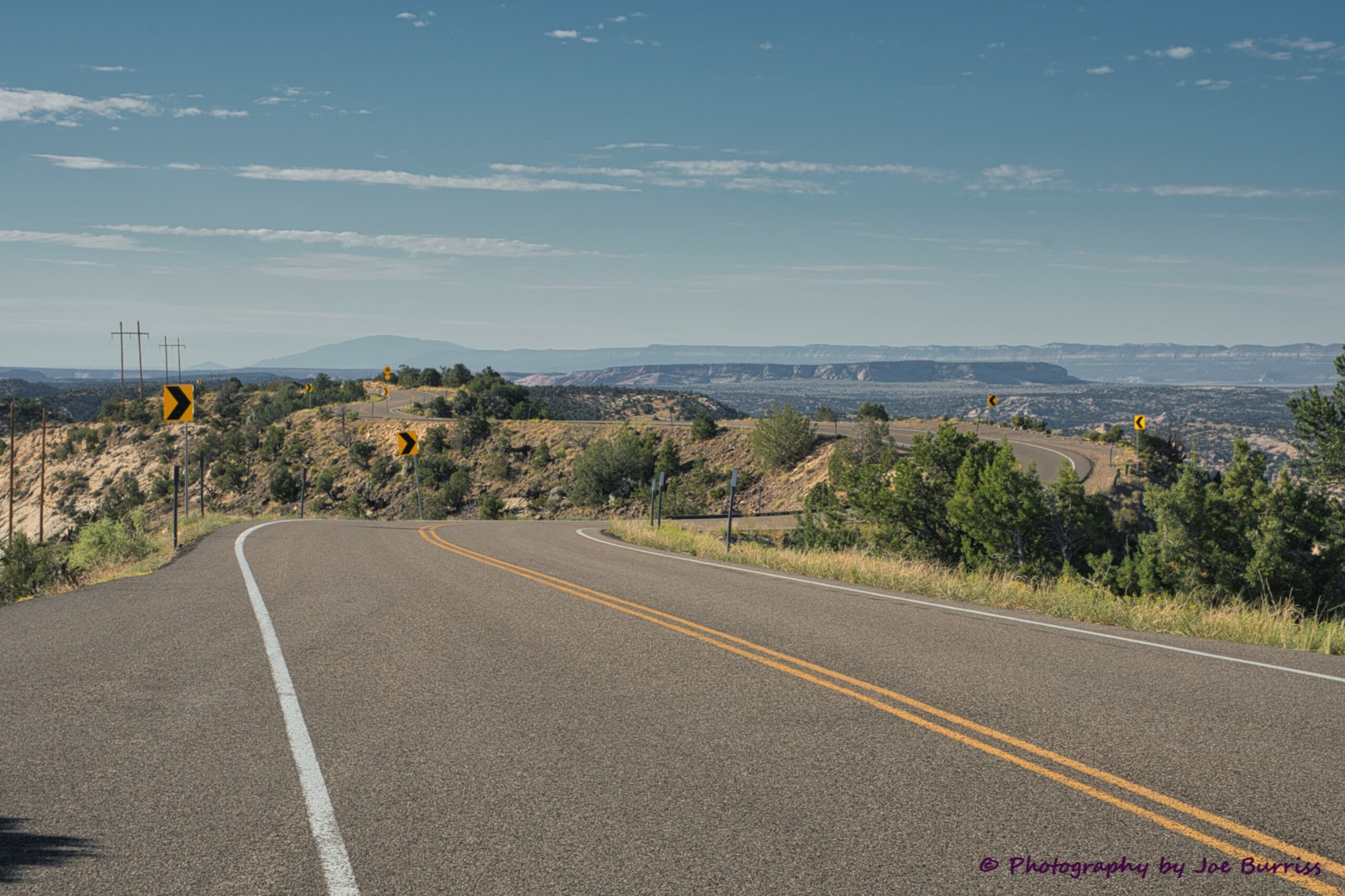
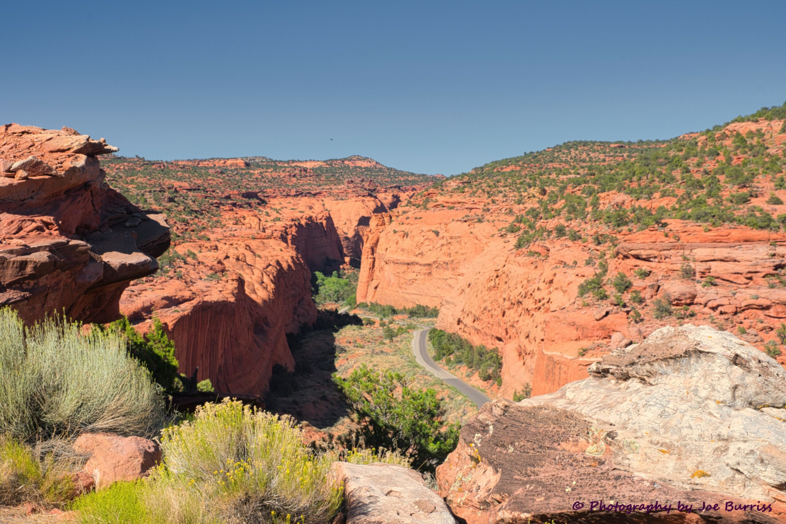
The Hogsback
The Hogsback is a portion of Hwy 12 that travels over the narrow spine of a mesa with canyons on either side carved by Boulder Creek and Calf Creek. Many years ago the road was one lane and traffic could only cross in one direction, but in 1940 the project to rebuild it to standard highway width was completed by the CCC. It provides some of the most stunning views to be had on Hwy 12. There are numerous scenic view pull-offs along the way, but photos will never do the Hogsback justice; you have to drive it and experience it for yourself.
Anasazi State Park
In Boulder is Anasazi State Park that preserves the Coombs site. Anasazi is a Navajo word interpreted to mean ancient enemies or enemy ancestors, but is now referred to as the ancient ones. It refers to village-dwelling farmers who existed on the Colorado Plateau between A.D. 1 and 1300. Most of the sites were abandoned after A.D. 1300, but a few continued to flourish – Hopi, Zuni, and Acoma to the west, and eastern Pueblo villages along the Rio Grande River.
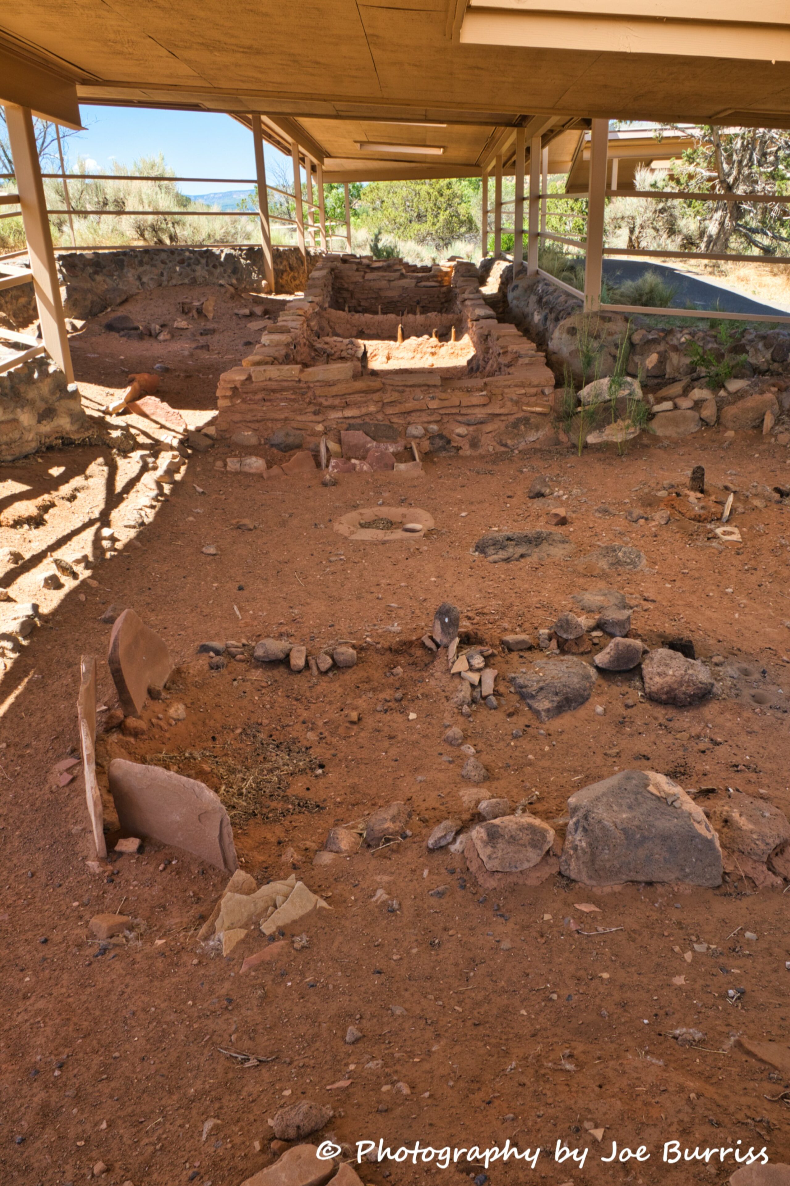
The Coombs Site is unique in comparison to many other Ancestral Puebloan sites in the southwest. It is located near what is considered to be the border of the Ancestral Puebloan and Fremont cultures. The Fremont were a prehistoric group that occupied most of Utah during the same period as the Ancestral Puebloans. The result is a blending of traits or a prehistoric “melting pot” that is reflected in the artifacts recovered from this site, as well as in the architecture. In addition, elements from other branches of the Ancestral Puebloans have been identified here, suggesting the presence of an extensive trade network.
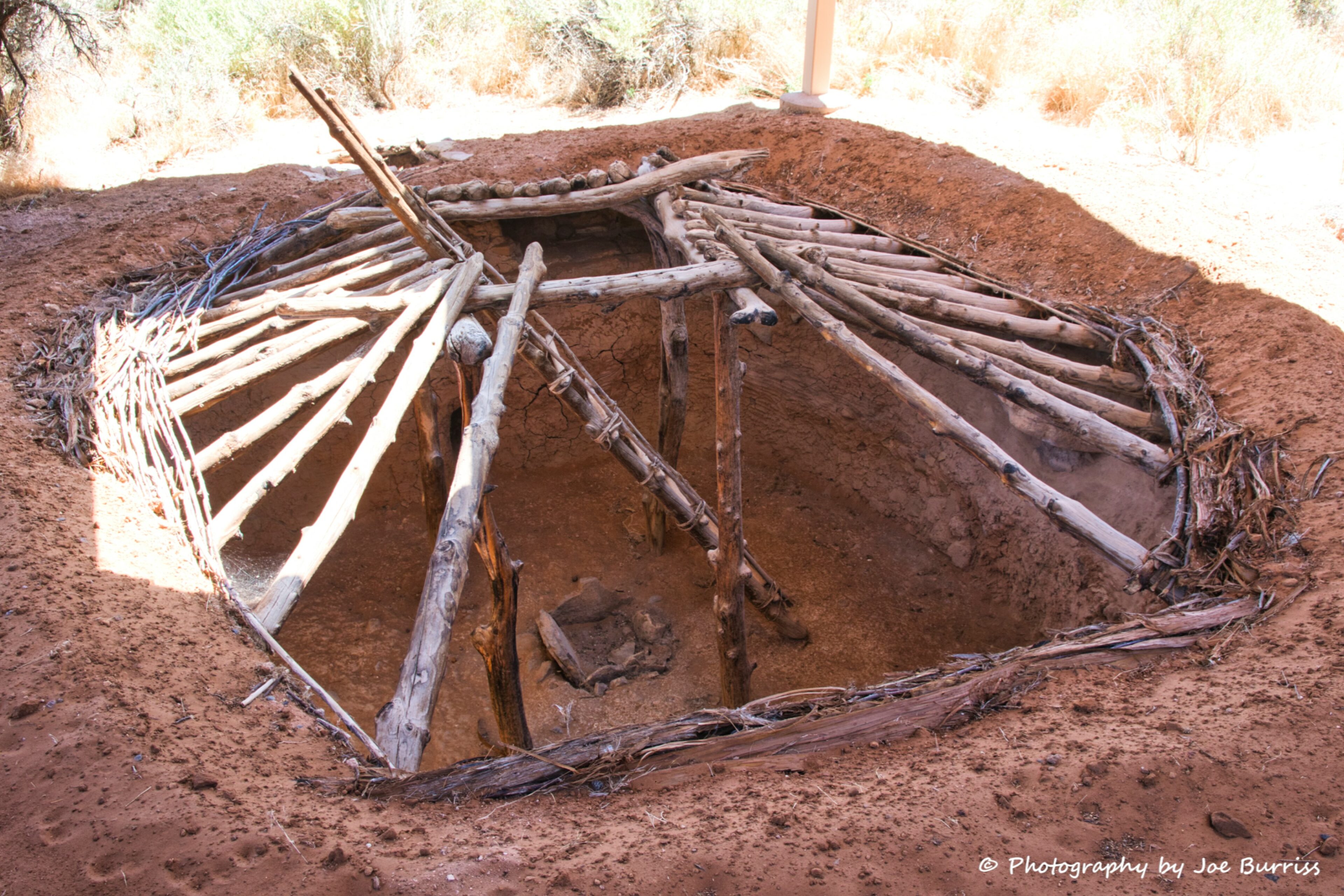
The Ancestral Puebloans are known for their extraordinary building techniques. From pit houses to multi-storied cliff dwellings, these structures remain as a tribute to their outstanding architectural abilities. The Ancestral Puebloans were also highly skilled potters. Beautifully decorated pots, bowls, ladles, mugs, and other elaborate ceramic objects have been found in sites throughout the region.
The museum associated with the state park includes a replica building, many pots, bowls, arrowheads, spears, and clothing. It is a great way to learn about this ancient culture.
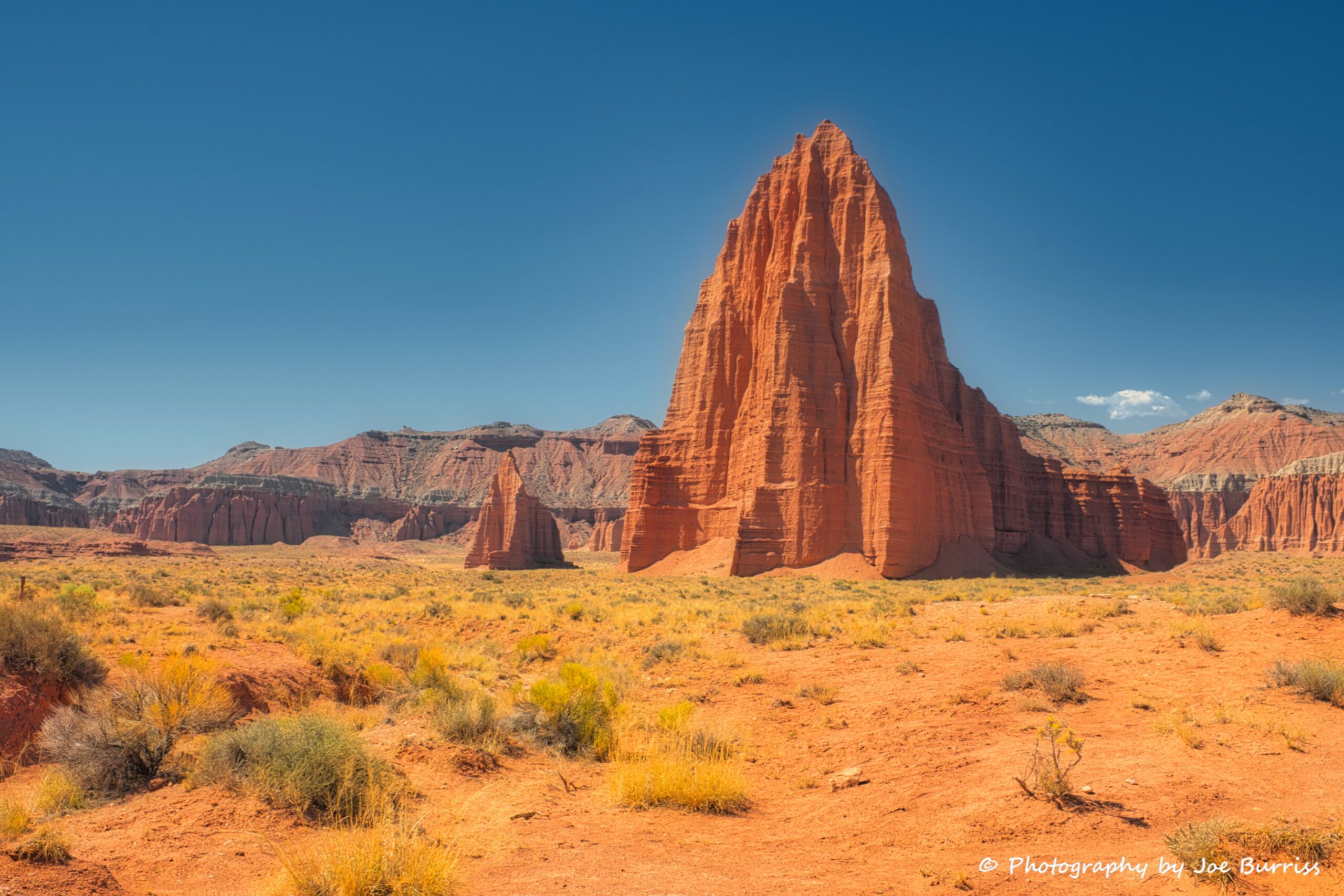
Burr Trail
The Burr Trail connects Boulder with Bullfrog, providing access to the eastern portion of Grand Staircase Escalante National Monument. It is paved from Boulder until it enters Capital Reef National Park. From there on it is unpaved. In Bullfrog you can cross the Colorado River on the ferry and continue across Utah.
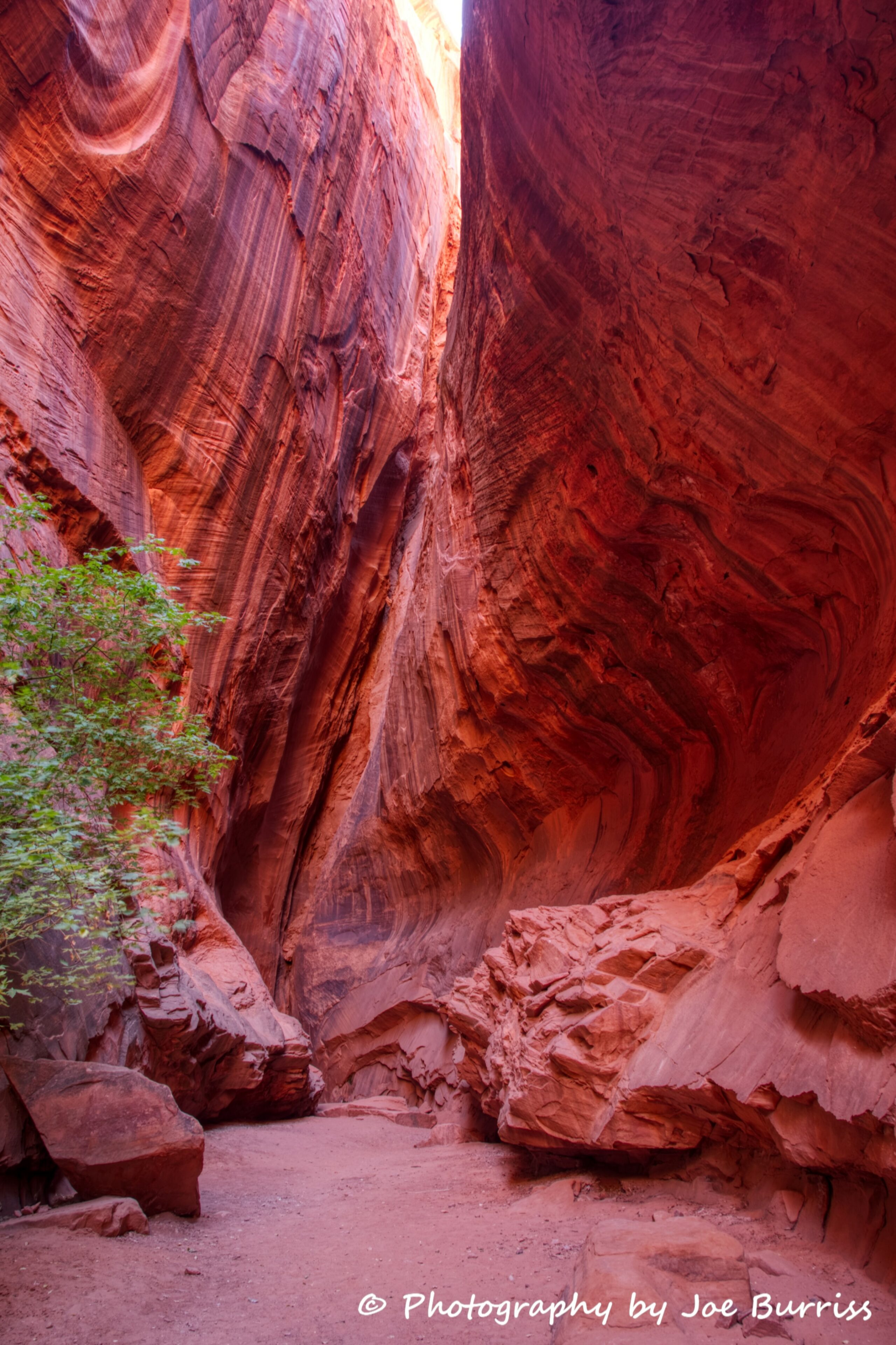
Early along the drive is Singing Canyon. It is a short walk from the road to a very short but deep slot canyon with a unique echo. It is a fun stop playing with various sounds and the echoes they create.
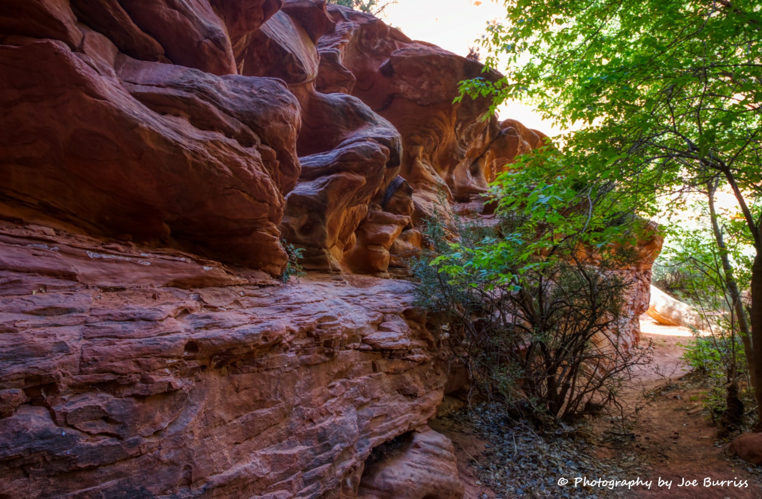
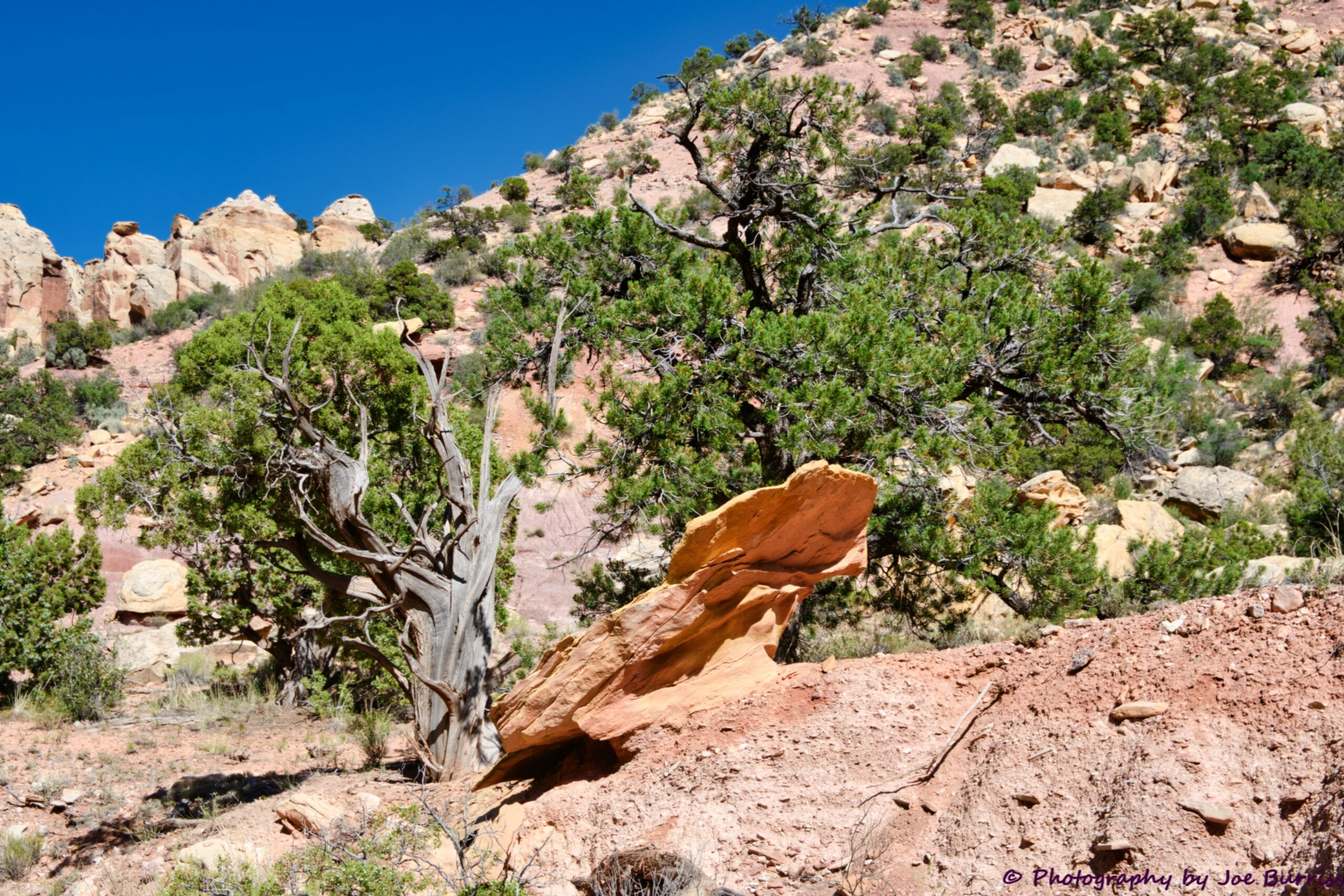
There are many interesting rock formations along the road. Take it slowly and enjoy.
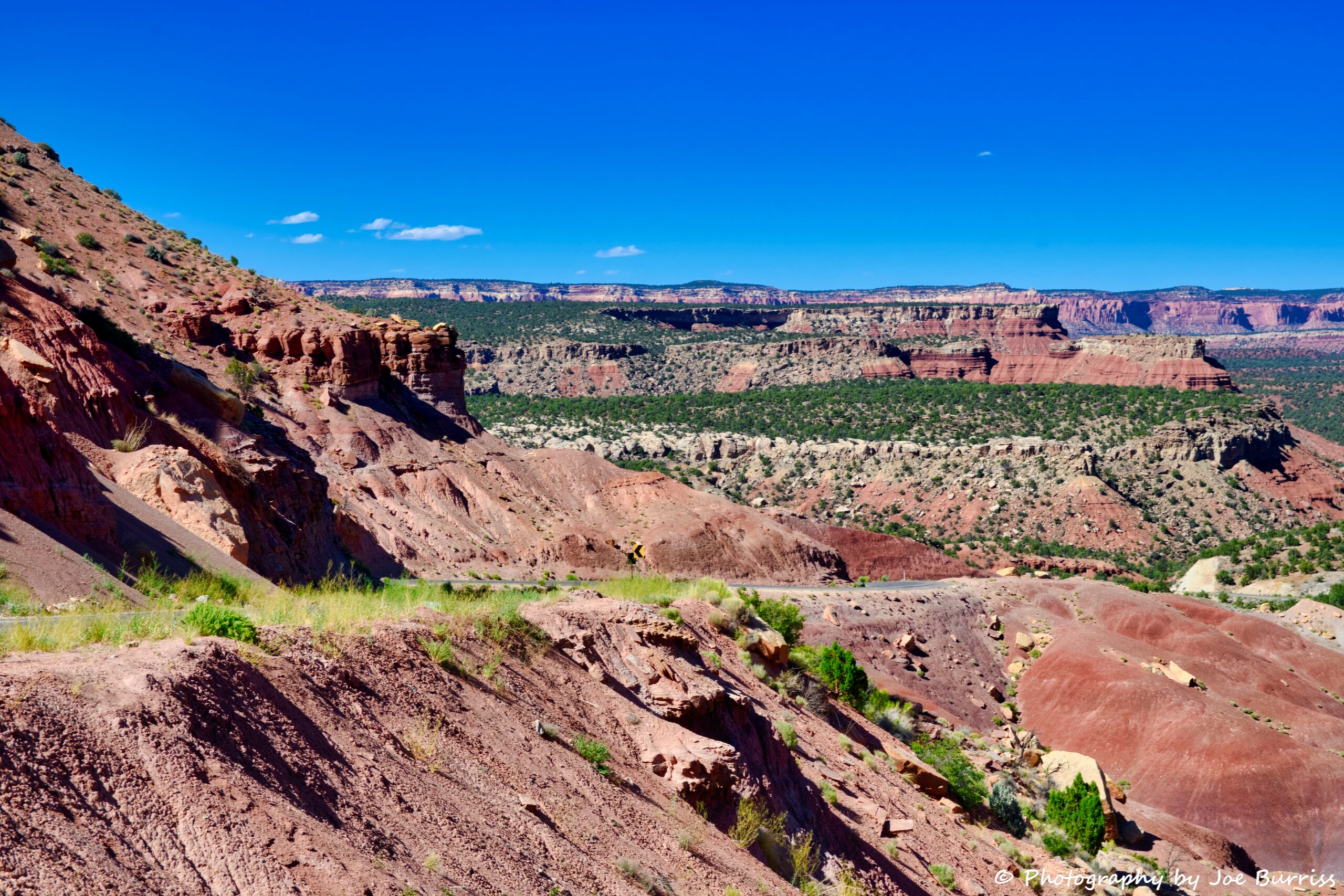
We stopped driving at the overlook above, maybe 20 miles along the road. There is much more road to explore and maybe some other day we will.
Capital Reef National Park
Capital Reef is a beautiful National Park which will get its own blog in a few weeks. It is also at the end of Scenic Hwy 12.
Scenic Hwy 12 provides access to the most remote area of the lower 48. It is the last area mapped and still has minimal paved roads. It is somewhat unique in how much of the beauty can be seen from a car. If you choose to go, enjoy.