On May 18, 1980 Mt St Helens in southwestern Washington state erupted. This eruption began to build months earlier with earthquakes, steam venting, and ash expulsions. On May 18 a 5.1 magnitude earthquake caused the bulging north flank of the mountain to collapse, creating the largest avalanche in modern history. It rolled over a 1,200-foot high ridge several miles from the volcano, scouring the land to bedrock and destroying everything in its path. It left large pieces of the mountain strewn about the valley and deposits of hot rocks, mud, ice, and debris more than 600 feet deep in places. Within mere minutes this hot mess traveled 14 miles down the Toutle River, leaving deposits averaging 150 feet deep before continuing the remaining 23 miles to the Columbia River. The Columbia was closed off for months. The gaseous portion of the blast rocketed outward at 450 mph with a temperature of 680 degrees F, showering the area with hot rocks and more pumice than we can imagine.
After 9 hours the main eruption ended. Fifty-seven people died, 53 of them in areas thought to be safe during an eruption. The summit lost 1,300 feet of elevation, leaving behind a crater 1.2 miles wide by 2.4 miles long and 2,000 feet deep. There were 3 defined levels of destruction outward: The Tree Removal Zone, from 0 to 7.5 miles out, where all trees and other vegetation was uprooted, shattered, and swept away. Next was the Blowdown Zone, from 7.5 to 15.5 miles from the blast, where trees were blown over and flattened. The Scorch Zone, from 2-17 miles out, scorched and killed trees, leaving a ghostly, standing dead forest. The only plants and animals that survived were those protected by lake ice or snow or on a slope hidden from the blast by topography.
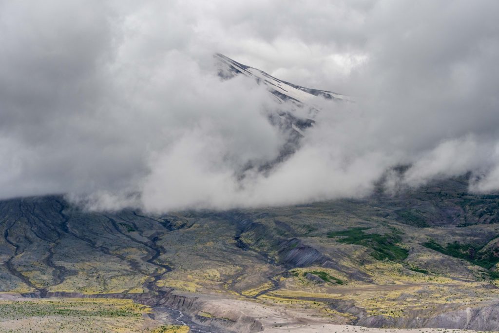
We were at Mt St Helens for 3 days and the above photo is the best view we got of the mountain. After moving to Mt Rainier we were able to get to Mt St Helens again, from a different side. We were 144 miles by road from the first view point, yet we could see it from the second one. After 9 days in our new area the skies cleared and… wow!
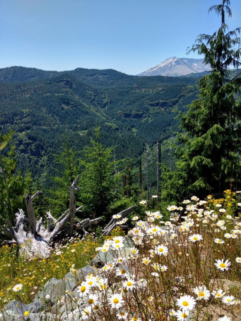
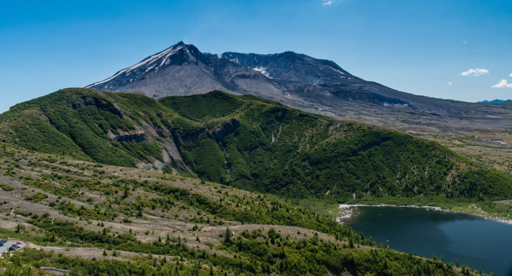
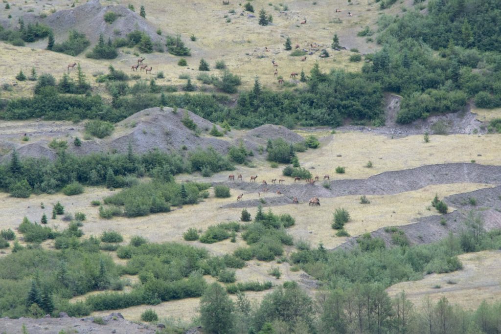
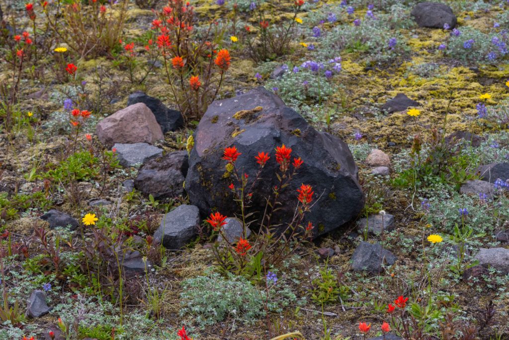
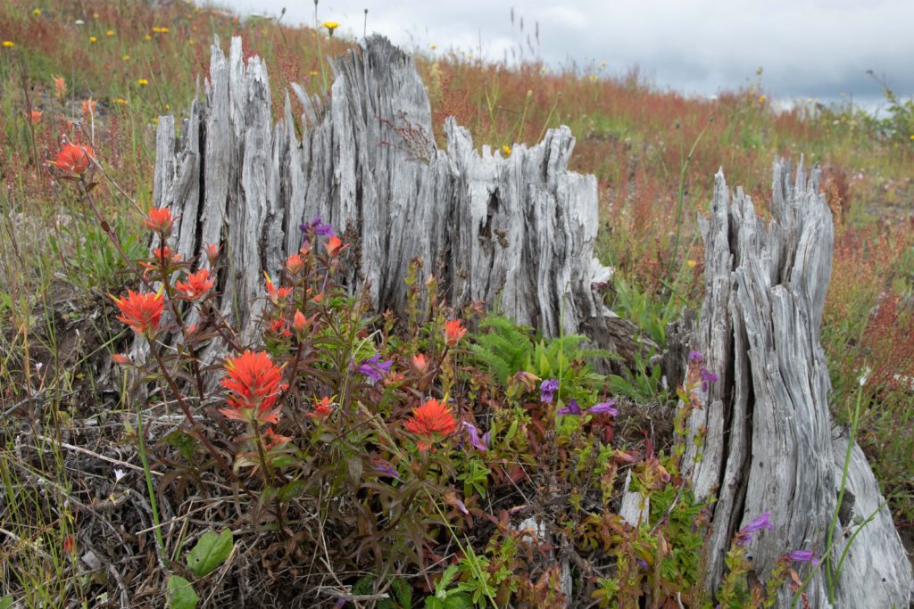
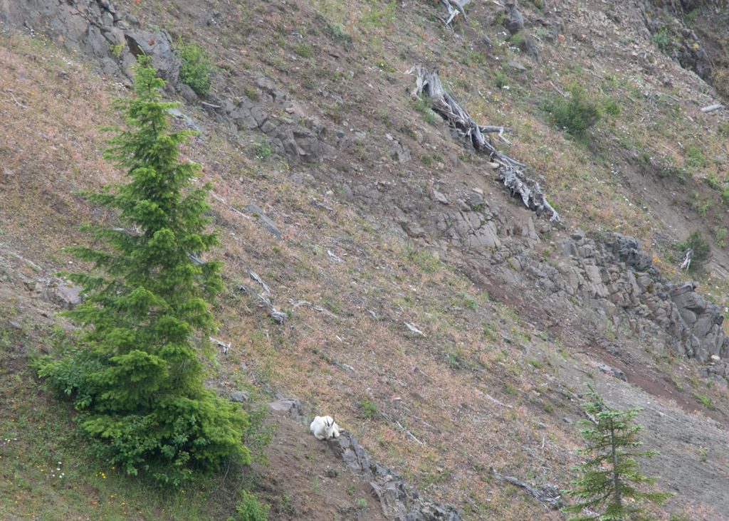
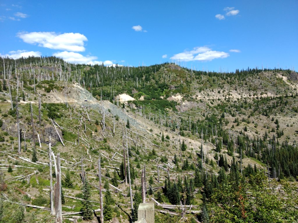
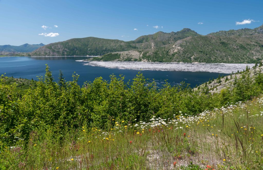
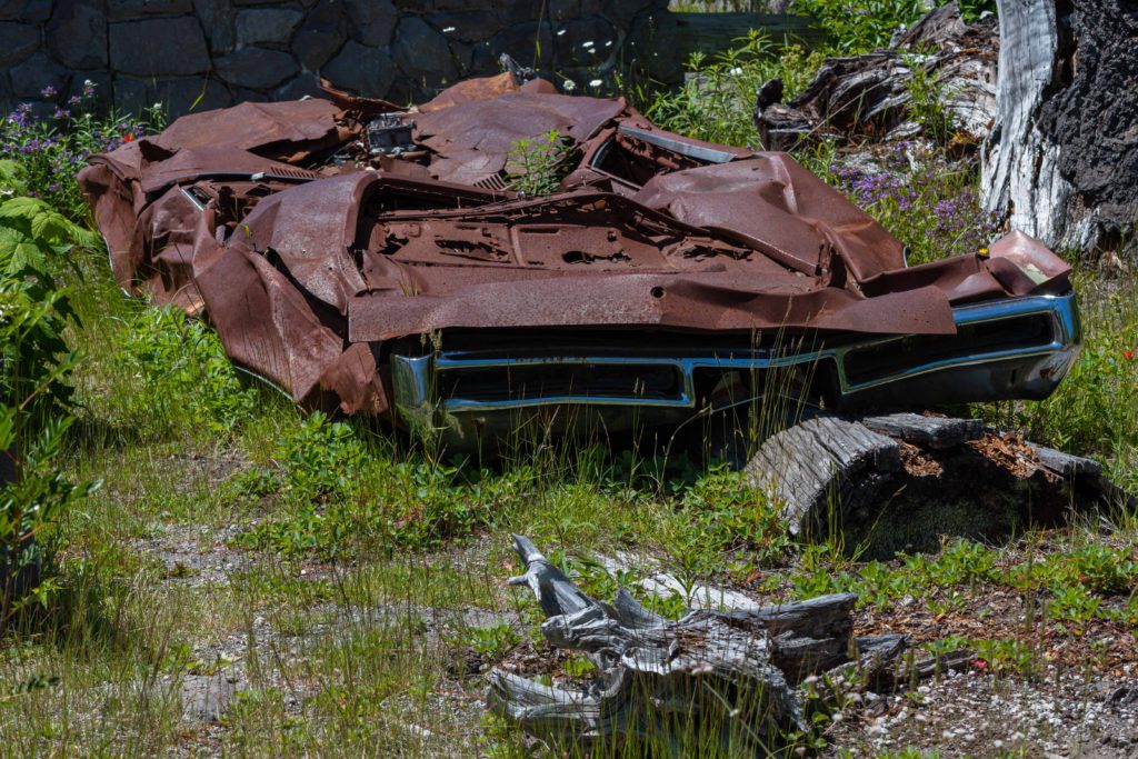
Today the area around Mt St Helens is a National Monument and a living laboratory where scientists can study how life returns after a major disaster and tourists can learn about volcanoes and see how they can affect life.
Over time forests will return to Mt St Helens. Some day in the next few hundred years the mountain will erupt again and the cycle will start over, as it has many times in the past. The large pieces of mountain strewn about the area, even high on nearby ridges, the gorges carved through the hundreds of feet of debris depth, the miles of land devoid of trees, and the miles of downed and standing dead trees — seeing all of this really gives one perspective on the violence and energy of volcanic eruptions. The one state and two federal information centers are definitely worth the visit; there is a lot to learn while there. We are really glad we stopped. It is educational and sobering to see the impact one mountain can have in just a few hours.